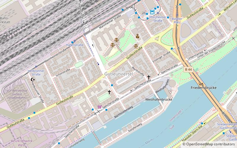
Gutleutviertel, Frankfurt

Map
Facts and practical information
The Gutleutviertel is a quarter of Frankfurt am Main, Germany. It is part of the Ortsbezirk Innenstadt I. ()
Day trips
Gutleutviertel – popular in the area (distance from the attraction)
Nearby attractions include: Skyline Plaza, Städel Museum, Deutsches Architekturmuseum, Museum für Kommunikation.
Frequently Asked Questions (FAQ)
Which popular attractions are close to Gutleutviertel?
Nearby attractions include Bahnhofsviertel, Frankfurt (2 min walk), Westhafen Tower, Frankfurt (5 min walk), Frankfurt Rhein-Main Regional Authority, Frankfurt (11 min walk), Frankfurt Rhine-Main, Frankfurt (11 min walk).
How to get to Gutleutviertel by public transport?
The nearest stations to Gutleutviertel:
Bus
Tram
Train
Metro
Bus
- Rottweiler Platz • Lines: 33 (2 min walk)
- Zanderstraße • Lines: 33 (4 min walk)
Tram
- Baseler Platz • Lines: 12, 16, 17, 20, 21, EEx (7 min walk)
- Vogelweidstraße • Lines: 12, 15, 19, 20, 21 (9 min walk)
Train
- Frankfurt Hauptbahnhof (10 min walk)
- Hauptbahnhof (10 min walk)
Metro
- Hauptbahnhof • Lines: U4, U5 (12 min walk)
- Festhalle/Messe • Lines: U4 (19 min walk)


