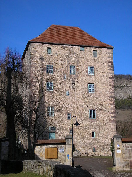
Kemenate

Gallery (2)
Map
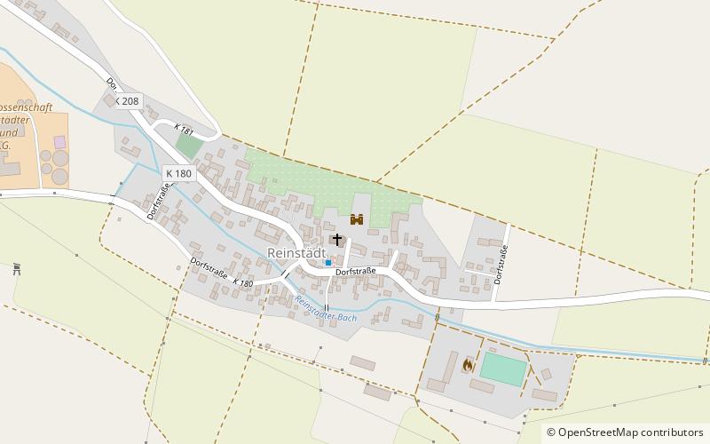
Map
Gallery
Facts and practical information
Kemenate Reinstädt is a massive residential tower from the early Renaissance period in the center of Reinstädt, a village in a side valley of the Saale River about 20 kilometers southwest of Jena.
Coordinates: 50°48'35"N, 11°28'32"E
Location
Thuringia
ContactAdd
Social media
Add
Day trips


