Dorfkirche

Gallery (1)
Map
Map
Facts and practical information
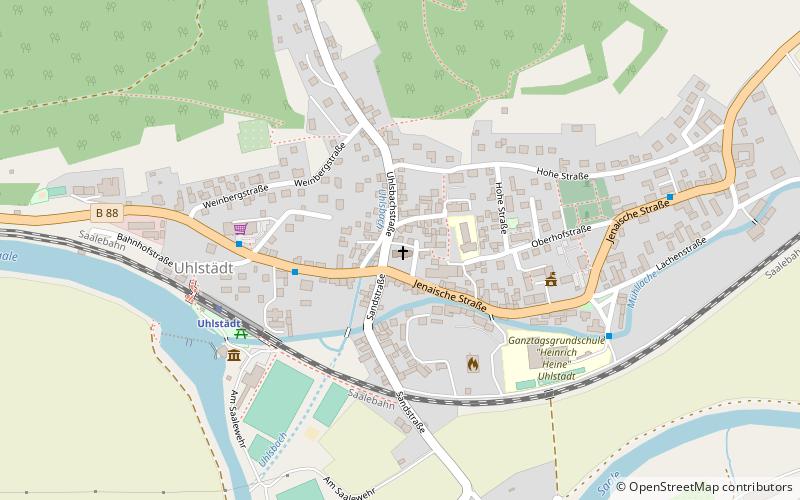
The Lutheran village church of Uhlstädt stands in the village of Uhlstädt in the municipality of Uhlstädt-Kirchhasel in the Saalfeld-Rudolstadt district of Thuringia, Germany.
Coordinates: 50°44'33"N, 11°27'60"E
Location
Thuringia
ContactAdd
Social media
Add
Day trips


