City Hall, Neutraubling
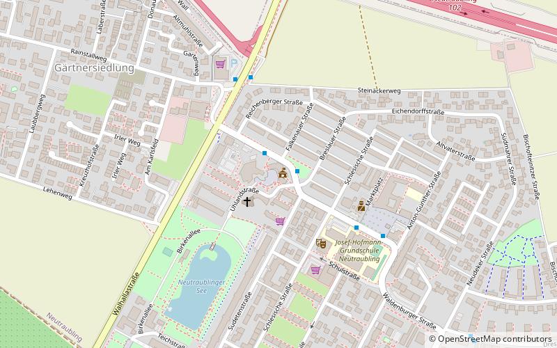
Map
Facts and practical information
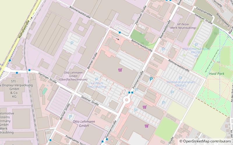
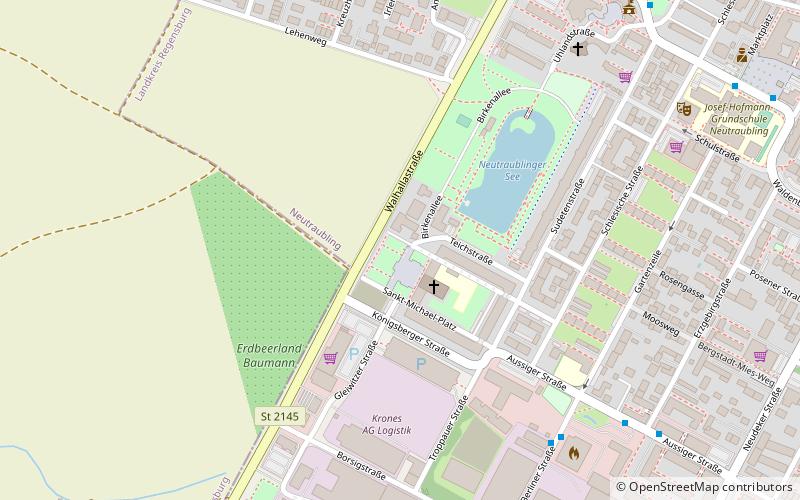
City Hall (address: Regensburger Straße 9) is a place located in Neutraubling (Bavaria ) and belongs to the category of city hall.
It is situated at an altitude of 1086 feet, and its geographical coordinates are 48°59'37"N latitude and 12°11'46"E longitude.
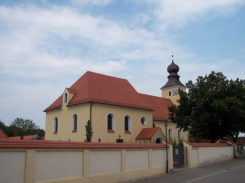
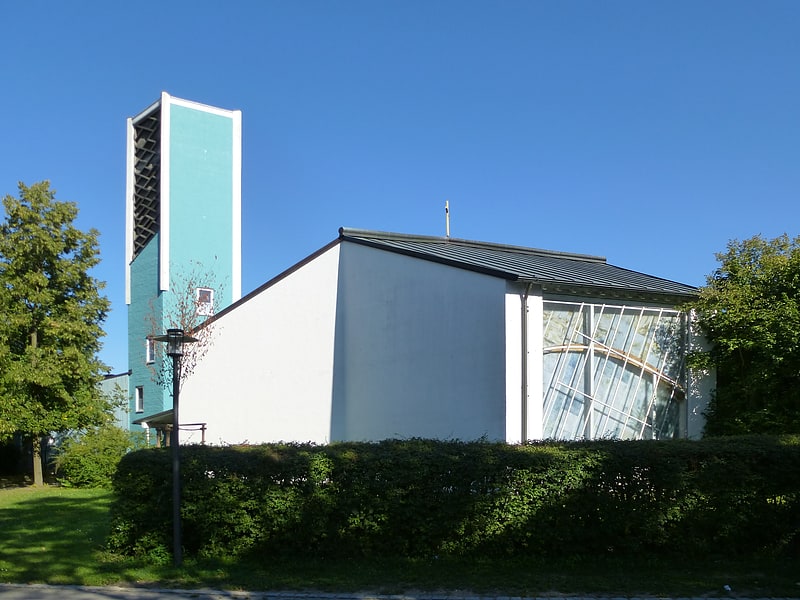
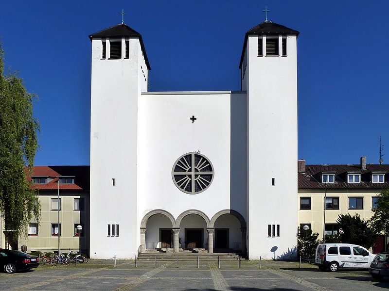
Among other places and attractions worth visiting in the area are: Luther Church (church, 2 min walk), War Memorial (memorial, 9 min walk), St. Michael (church, 9 min walk).
Coordinates: 48°59'37"N, 12°11'46"E
Address
Regensburger Straße 9Neutraubling
ContactAdd
Social media
Add
Day trips
City Hall – popular in the area (distance from the attraction)
Nearby attractions include: St. Martin, Luther Church, St. Michael, KaufPark Neutraubling.
Frequently Asked Questions (FAQ)
Which popular attractions are close to City Hall?
Nearby attractions include Luther Church, Neutraubling (2 min walk), War Memorial, Neutraubling (9 min walk), St. Michael, Neutraubling (9 min walk), St. Martin, Barbing (20 min walk).