Unterliederbach, Frankfurt
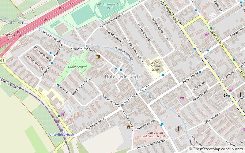
Map
Facts and practical information
Unterliederbach is a quarter of Frankfurt am Main, Germany. It is part of the Ortsbezirk West and is subdivided into the Stadtbezirke Unterliederbach-Ost, Unterliederbach-Mitte and Unterliederbach-West. ()
Getting there by public transportation
Public transportation stops near this location
- Bus
- Tram
- Train
 Bus
Bus
- Calculate routeUnterliederbach Markt 1 min walk
- Calculate routeLudwig-Erhard-Schule 4 min walk
- Calculate routeWasgaustraße 5 min walk
- Calculate routeUnterliederbach 7 min walk
- Calculate routeFrankfurt-Höchst 18 min walk
- Calculate routeFrankfurt-Höchst Farbwerke 22 min walk
- Calculate routeSossenheim 26 min walk
- Calculate routeZuckschwerdtstraße 27 min walk
- Calculate routeBolongaropalast 28 min walk
Day trips


Frequently Asked Questions (FAQ)
How to get to Unterliederbach by public transport?
The nearest stations to Unterliederbach:
Bus
Train
Tram
Bus
- Unterliederbach Markt • Lines: 50 (1 min walk)
- Ludwig-Erhard-Schule • Lines: 50, 58 (4 min walk)
Train
- Unterliederbach (7 min walk)
- Frankfurt-Höchst (18 min walk)
Tram
- Zuckschwerdtstraße • Lines: 11 (27 min walk)
- Bolongaropalast • Lines: 11 (28 min walk)