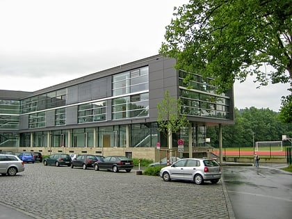
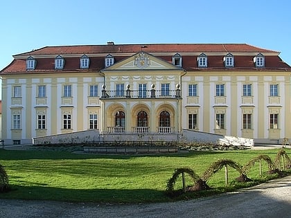
Dreiflüssestadion, Passau
Map
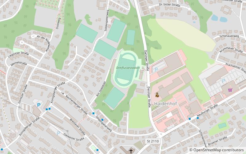
Map

Facts and practical information
Alternative names: Opened: 1969 (57 years ago)Capacity: 20 thous.Coordinates: 48°33'52"N, 13°25'22"E
Address
Passau
ContactAdd
Social media
Add
Day trips
Dreiflüssestadion – popular in the area (distance from the attraction)
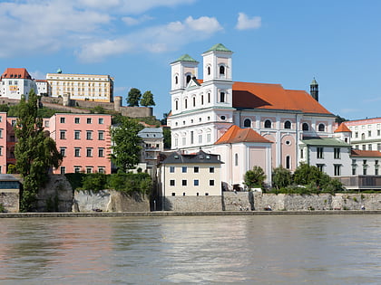
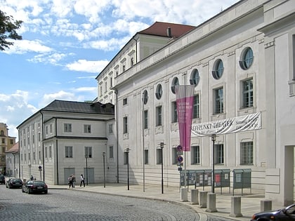
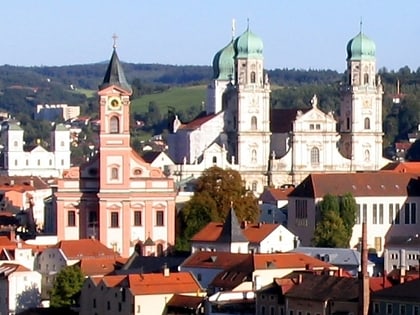
Nearby attractions include: St. Stephen's Cathedral, St. Michael's Church, Stadttheater Passau, St. Nikola.
Frequently Asked Questions (FAQ)
How to get to Dreiflüssestadion by public transport?
The nearest stations to Dreiflüssestadion:
Bus
Bus
- Söldenpeter Weg • Lines: 9 (4 min walk)
- Breslauer Straße • Lines: 8 (7 min walk)


