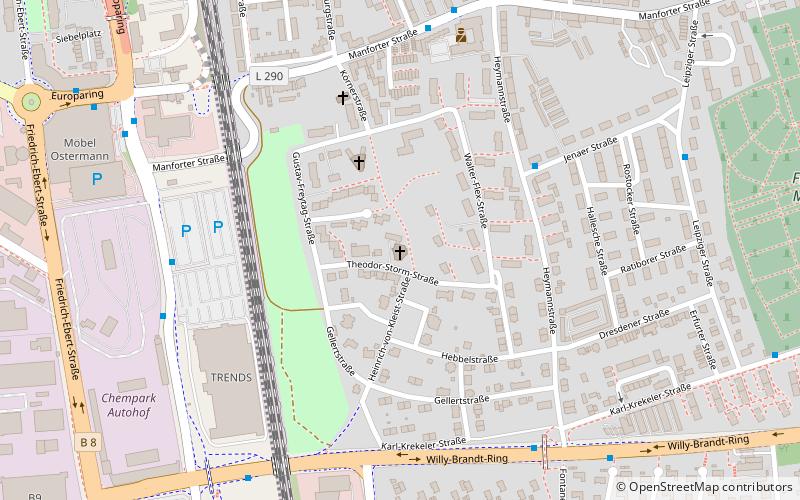
St. Mark's Church, Leverkusen
Map

Map

Facts and practical information
St. Mark's Church was a Protestant place of worship in the Wiesdorf district of Leverkusen. It belonged to the Wiesdorf congregation in the Protestant church district of Leverkusen.
Architectural style: ModernCoordinates: 51°1'33"N, 6°59'47"E
Address
6 Theodor-Storm-StraßeWiesdorf-Ost (Siedlung Eigenheim)Leverkusen
ContactAdd
Social media
Add
Day trips
St. Mark's Church – popular in the area (distance from the attraction)
Nearby attractions include: BayArena, Rathaus-Galerie Leverkusen, Freizeitbad Calevornia, Japanese Garden.
Frequently Asked Questions (FAQ)
How to get to St. Mark's Church by public transport?
The nearest stations to St. Mark's Church:
Bus
Train
Bus
- Manforter Straße • Lines: 250 (9 min walk)
- Haberstraße • Lines: 203, 209, 211, 212, 214, 227, N24, Sb21, Sb22, Sb29 (13 min walk)
Train
- Leverkusen Central Station (12 min walk)
- Leverkusen-Manfort (24 min walk)


