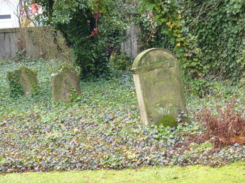
Jewish Cemetery, Esslingen
Map

Gallery

Facts and practical information
The Jewish cemetery on the corner of Turmstraße and Mittlere Beutau in Esslingen am Neckar is the oldest surviving Jewish cemetery in the city.
Local name: Jüdischer FriedhofCoordinates: 48°44'45"N, 9°18'24"E
Address
Esslingen
ContactAdd
Social media
Add
Day trips
Jewish Cemetery – popular in the area (distance from the attraction)
Nearby attractions include: Merkel'sches Schwimmbad, Stadtkirche St. Dionys, Neckarfreibad, Württembergische Landesbühne Esslingen.
Frequently Asked Questions (FAQ)
Which popular attractions are close to Jewish Cemetery?
Nearby attractions include Esslinger Burg, Esslingen (4 min walk), Münster St. Paul, Esslingen (6 min walk), Stadtkirche St. Dionys, Esslingen (7 min walk), Synagogue, Esslingen (10 min walk).
How to get to Jewish Cemetery by public transport?
The nearest stations to Jewish Cemetery:
Bus
Trolleybus
Train
Bus
- Marktplatz • Lines: 102, 103, 105, 108, 109, 110, 122 (6 min walk)
- Sulzgrieser Steige • Lines: 109 (6 min walk)
Trolleybus
- Schelztor • Lines: 101 (10 min walk)
- Schlachthausbrücke • Lines: 101 (13 min walk)
Train
- Esslingen (15 min walk)
- Oberesslingen (37 min walk)


