Völkerschlachtdenkmal, Heilbad Heiligenstadt

Gallery (1)
Map
Map
Facts and practical information
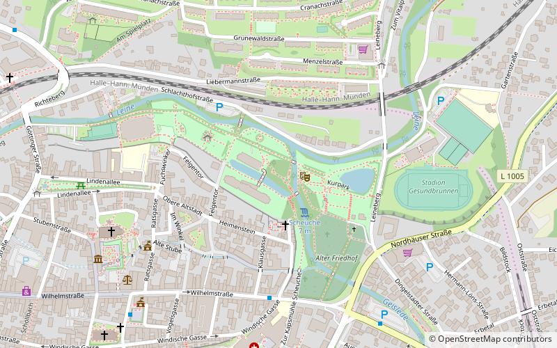
Völkerschlachtdenkmal is a place located in Heilbad Heiligenstadt (Thuringia state) and belongs to the category of memorial.
It is situated at an altitude of 856 feet, and its geographical coordinates are 51°22'47"N latitude and 10°8'30"E longitude.
Among other places and attractions worth visiting in the area are: Klausmühle (watermill, 4 min walk), Old Town Hall (city hall, 6 min walk), Aegidienkirche (church, 9 min walk).
Coordinates: 51°22'47"N, 10°8'30"E
Address
Heilbad Heiligenstadt
ContactAdd
Social media
Add
Day trips
Völkerschlachtdenkmal – popular in the area (distance from the attraction)
Nearby attractions include: Herrnmühle, Klausmühle, Aegidienkirche, Landratsamt.


Frequently Asked Questions (FAQ)
Which popular attractions are close to Völkerschlachtdenkmal?
Nearby attractions include Klausmühle, Heilbad Heiligenstadt (4 min walk), Old Town Hall, Heilbad Heiligenstadt (6 min walk), Aegidienkirche, Heilbad Heiligenstadt (9 min walk), Herrnmühle, Heilbad Heiligenstadt (11 min walk).