Cramer-Klett-Park, Nuremberg
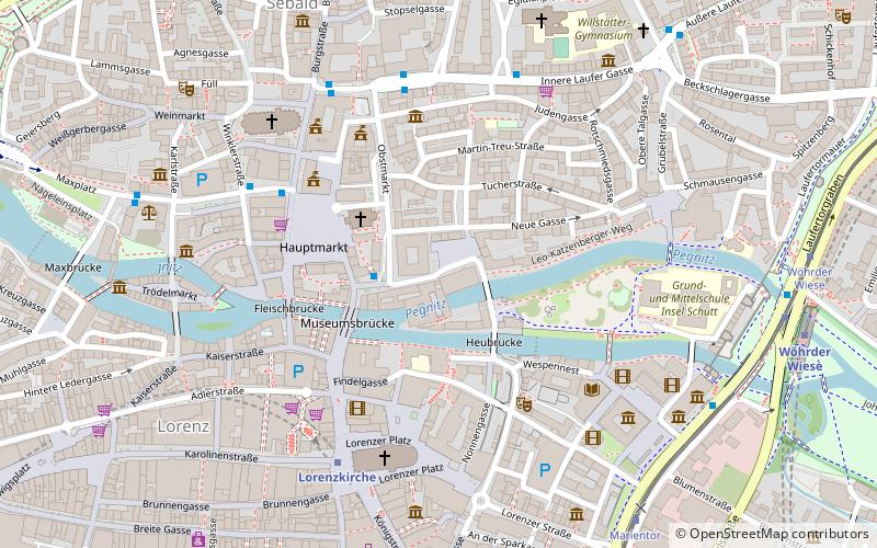
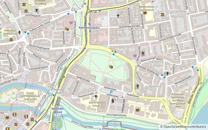
Map
Gallery
Facts and practical information
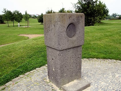
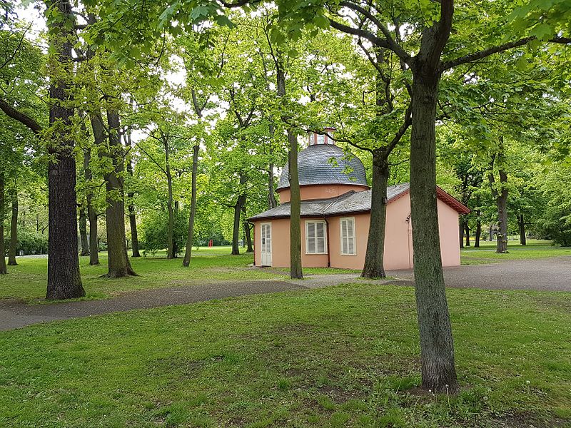
The Cramer Klett-Park is a small park in Nuremberg.
Elevation: 1020 ft a.s.l.Coordinates: 49°27'17"N, 11°5'27"E
Day trips
Cramer-Klett-Park – popular in the area (distance from the attraction)
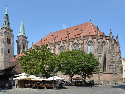
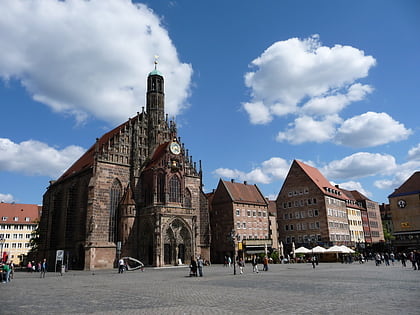
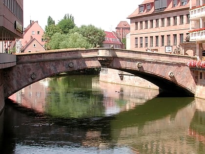
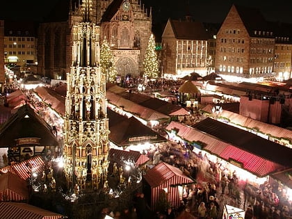
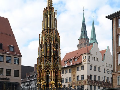
Nearby attractions include: St. Sebald, Frauenkirche, Fleisch Bridge, Christkindlesmarkt.
Frequently Asked Questions (FAQ)
Which popular attractions are close to Cramer-Klett-Park?
Nearby attractions include City walls of Nuremberg, Nuremberg (6 min walk), Laufer Torturm, Nuremberg (7 min walk), Erfahrungsfeld zur Entfaltung der Sinne, Nuremberg (7 min walk), Naturhistorisches Museum, Nuremberg (9 min walk).
How to get to Cramer-Klett-Park by public transport?
The nearest stations to Cramer-Klett-Park:
Metro
Tram
Bus
Train
Metro
- Rathenauplatz • Lines: U2, U3 (5 min walk)
- Wöhrder Wiese • Lines: U2, U3 (6 min walk)
Tram
- Rathenauplatz • Lines: 8 (5 min walk)
- Wöhrder Wiese • Lines: 8 (6 min walk)
Bus
- Rathenauplatz • Lines: 340, 36, 94, N1, N11, N12, N13 (6 min walk)
- Laufer Tor • Lines: N11 (6 min walk)
Train
- Nürnberg-Dürrenhof (15 min walk)
- Nürnberg Hauptbahnhof (20 min walk)

