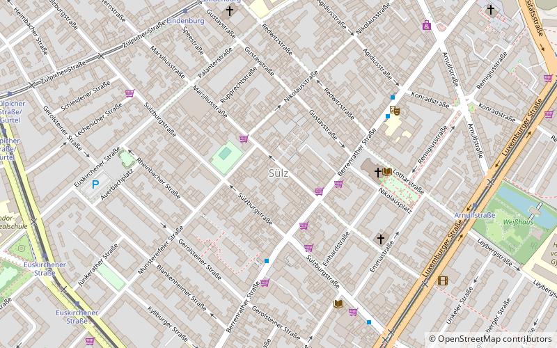
Sülz, Cologne
Map

Map

Facts and practical information
Sülz is a municipal part of Cologne, Germany and part of the district of Lindenthal. Sülz lies on Luxemburger Straße between Lindenthal and Klettenberg. Sülz has 35.475 inhabitants and covers an area of 5,17 km2. ()
Day trips
Sülz – popular in the area (distance from the attraction)
Nearby attractions include: Museum of East Asian Art, Käthe Kollwitz Museum, St Peter's Church, Synagoge Köln.
Frequently Asked Questions (FAQ)
Which popular attractions are close to Sülz?
Nearby attractions include Weißhaus, Cologne (9 min walk), Zur heiligen Familie, Cologne (10 min walk), Geusenfriedhof, Cologne (13 min walk), Studiobühne Köln, Cologne (13 min walk).
How to get to Sülz by public transport?
The nearest stations to Sülz:
Bus
Tram
Light rail
Train
Bus
- Gerolsteiner Straße • Lines: 131, 978 (4 min walk)
- Konradstraße • Lines: 978 (5 min walk)
Tram
- Lindenburg • Lines: 9 (7 min walk)
- Arnulfstraße • Lines: 18 (7 min walk)
Light rail
- Klettenbergpark • Lines: 18 (20 min walk)
Train
- Köln Süd (22 min walk)


