Steinernes Kreuz, Osterburken

Facts and practical information
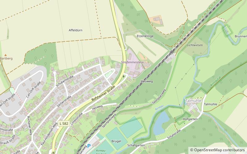
Steinernes Kreuz is a place located in Osterburken (Baden-Württemberg state) and belongs to the category of wayside shrine.
It is situated at an altitude of 909 feet, and its geographical coordinates are 49°26'12"N latitude and 9°25'46"E longitude.
Planning a visit to this place, one can easily and conveniently get there by public transportation. Steinernes Kreuz is a short distance from the following public transport stations: Alte Schule (bus, 10 min walk), Osterburken (train, 15 min walk).
Among other places and attractions worth visiting in the area are: Kilianskapelle (church, 10 min walk), St. Nepomuk (monuments and statues, 10 min walk), Stadtbrunnen (fountain, 10 min walk).
Osterburken
- Bus
- Train
 Bus
Bus
- Calculate routeAlte Schule 10 min walk
- Calculate routeOsterburken, Bahnhof 15 min walk
- Calculate routeOsterburken, GTO 19 min walk
- Calculate routeOsterburken R I O 31 min walk
- Calculate routeOsterburken 15 min walk
Steinernes Kreuz – popular in the area (distance from the attraction)
Nearby attractions include: Römermuseum Osterburken, Kilianskapelle, Lourdesgrotte, Mühle.


Frequently Asked Questions (FAQ)
Which popular attractions are close to Steinernes Kreuz?
How to get to Steinernes Kreuz by public transport?
Bus
- Alte Schule • Lines: 844 (10 min walk)
- Osterburken, Bahnhof • Lines: 844, 848 (15 min walk)
Train
- Osterburken (15 min walk)