Römermuseum Osterburken, Osterburken
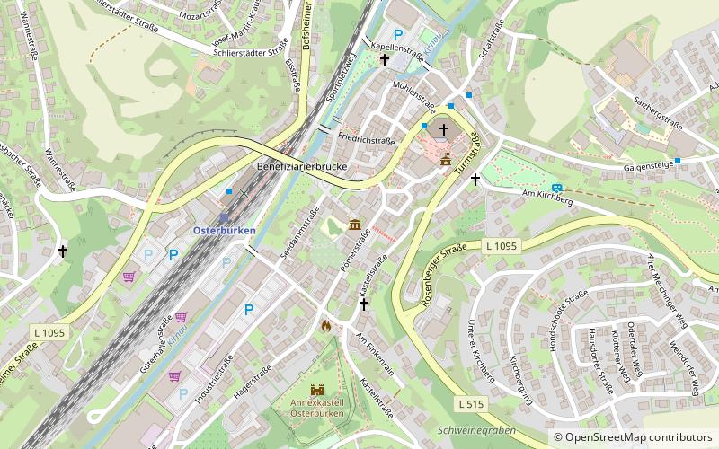
Map

Map

Facts and practical information
The Roman Museum Osterburken is a branch museum of the Archaeological State Museum of Baden-Württemberg and a supra-regional information center at the UNESCO World Heritage Site Upper Germanic-Raetian Limes. The museum is located in Osterburken, a town in the Neckar-Odenwald district of Baden-Württemberg. It is located in the western outskirts of the city center, just a few hundred meters from the course of the Limes and the ruins of Fort Osterburken.
Coordinates: 49°25'46"N, 9°25'32"E
Day trips
Römermuseum Osterburken – popular in the area (distance from the attraction)
Nearby attractions include: Kilianskapelle, Lourdesgrotte, Mühle, St. Nepomuk.
Frequently Asked Questions (FAQ)
When is Römermuseum Osterburken open?
Römermuseum Osterburken is open:
- Monday closed
- Tuesday 10 am - 5 pm
- Wednesday 10 am - 5 pm
- Thursday 10 am - 5 pm
- Friday 10 am - 5 pm
- Saturday 10 am - 5 pm
- Sunday 10 am - 5 pm
Which popular attractions are close to Römermuseum Osterburken?
Nearby attractions include Lourdesgrotte, Osterburken (2 min walk), Brückenheiliger, Osterburken (3 min walk), Alte Kirnaubrücke, Osterburken (3 min walk), Marienstatue, Osterburken (3 min walk).
How to get to Römermuseum Osterburken by public transport?
The nearest stations to Römermuseum Osterburken:
Bus
Train
Bus
- Osterburken, Bahnhof • Lines: 844, 848 (4 min walk)
- Alte Schule • Lines: 844 (5 min walk)
Train
- Osterburken (4 min walk)


