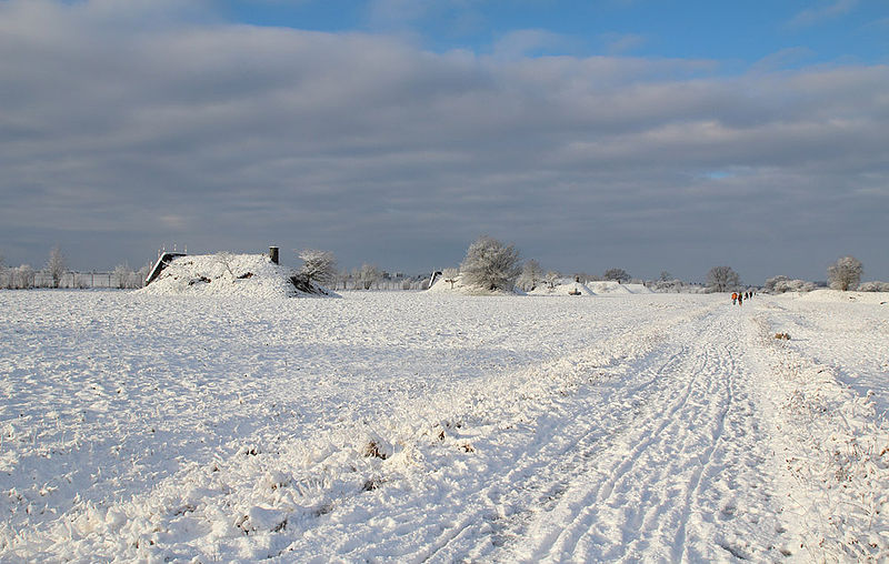
Landschaftspark Hachinger Tal, Munich
Map
Gallery
Facts and practical information
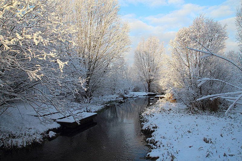
The Hachinger Tal Landscape Park is a landscape park of about 126 hectares in the administrative area of Neubiberg, Ottobrunn and Unterhaching in the south of Munich. It was created on the site of the former air base Neubiberg.
In 1997, the municipality of Unterhaching near Munich purchased a large part of the abandoned airfield and gradually began redesigning it starting in 2001. The design came from the landscape architecture firm Atelier Loidl from Berlin.
Elevation: 1821 ft a.s.l.Coordinates: 48°4'16"N, 11°38'15"E
Day trips
Landschaftspark Hachinger Tal – popular in the area (distance from the attraction)
Nearby attractions include: PEP Perlacher Einkaufspassagen, Sportpark Unterhaching, Ostpark, Michaelibad.
Frequently Asked Questions (FAQ)
How to get to Landschaftspark Hachinger Tal by public transport?
The nearest stations to Landschaftspark Hachinger Tal:
Bus
Train
Bus
- Truderinger Straße • Lines: 217, 220, 220V (20 min walk)
- Siemensstraße • Lines: 221, 222 (20 min walk)
Train
- Neubiberg (28 min walk)
- Unterhaching (32 min walk)


