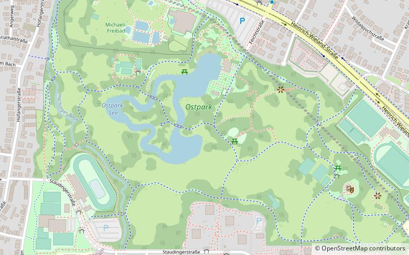
Ostpark, Munich
Map

Map

Facts and practical information
The Ostpark is a public park in Munich, Germany. It was planned since the 1960s and opened in 1973. ()
Day trips
Ostpark – popular in the area (distance from the attraction)
Nearby attractions include: PEP Perlacher Einkaufspassagen, Michaelibad, St Michael in Berg am Laim, St Mary's Church.
Frequently Asked Questions (FAQ)
Which popular attractions are close to Ostpark?
Nearby attractions include FestSpielHaus, Munich (11 min walk), Ständlerstraße, Munich (19 min walk), Berg am Laim, Munich (19 min walk), St Michael in Berg am Laim, Munich (23 min walk).
How to get to Ostpark by public transport?
The nearest stations to Ostpark:
Bus
Metro
Tram
Train
Bus
- Georg-Brauchle-Haus • Lines: 199 (7 min walk)
- Heinrich-Wieland-Straße • Lines: 195 (7 min walk)
Metro
- Michaelibad • Lines: U5, U7, U8 (11 min walk)
- Quiddestraße • Lines: U5, U7, U8 (15 min walk)
Tram
- St.-Veit-Straße • Lines: 21, N19 (16 min walk)
- Kreillerstraße • Lines: 21, N19 (23 min walk)
Train
- Kreillerstraße (24 min walk)


