Wasserturm Radebeul, Radebeul
Map

Map

Facts and practical information
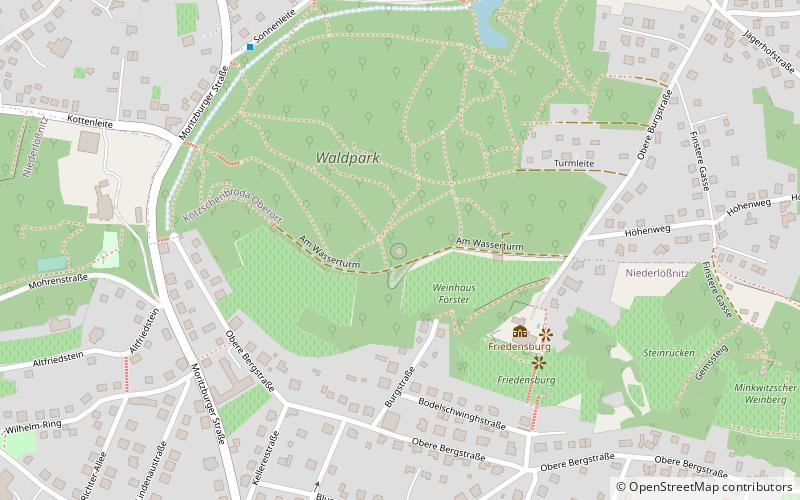
The white Radebeul water tower, also Franzosenturm, visible from afar on the edge of the slope in Radebeul-West, with its red conical roof is a cultural monument that characterizes the townscape. The address Am Wasserturm belongs to Kötzschenbroda Oberort and is located in the Historic Vineyard Landscape Radebeul monument protection area. The water tower is the only large structure in the Waldpark Radebeul-West. This, in turn, is part of the Lößnitz Landscape Conservation Area.
Coordinates: 51°7'0"N, 13°38'9"E
Address
Am WasserturmRadebeul
ContactAdd
Social media
Add
Day trips
Wasserturm Radebeul – popular in the area (distance from the attraction)
Nearby attractions include: Schloss Wackerbarth, Altkötzschenbroda, Vinothek Hoflößnitz, Heimatstube Kötzschenbroda.
Frequently Asked Questions (FAQ)
Which popular attractions are close to Wasserturm Radebeul?
Nearby attractions include Friedensburg, Radebeul (4 min walk), Schloss Wackerbarth, Radebeul (21 min walk), Heimatstube Kötzschenbroda, Radebeul (22 min walk), Altkötzschenbroda, Radebeul (23 min walk).
How to get to Wasserturm Radebeul by public transport?
The nearest stations to Wasserturm Radebeul:
Bus
Tram
Train
Bus
- Kottenleite • Lines: 400 (6 min walk)
- Sonnenleite • Lines: 400 (6 min walk)
Tram
- Radebeul, Moritzburger Straße • Lines: 4 (17 min walk)
Train
- Radebeul-Kötzschenbroda (18 min walk)
- Lößnitzgrund (22 min walk)


