Klause Kastel

Gallery (1)
Map
Map
Facts and practical information
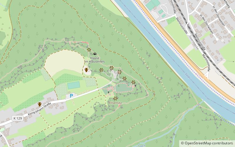
The Klause Kastel is a retreat carved by monks into the rock face of sandstone on a plateau above the valley and offers a wide view over the Saar Valley.
Coordinates: 49°34'5"N, 6°34'14"E
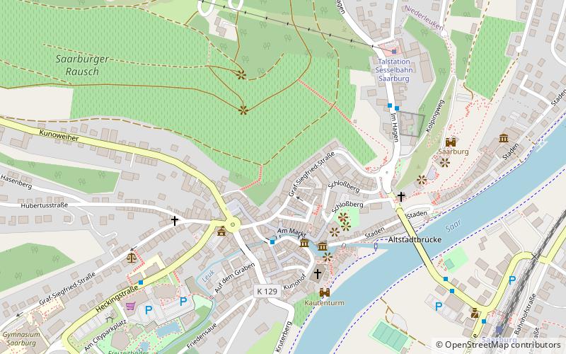
Location
Rhineland-Palatinate
ContactAdd
Social media
Add
Day trips