Sendling, Munich
Map
Gallery
Facts and practical information
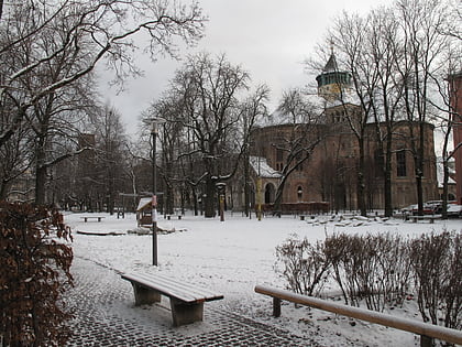
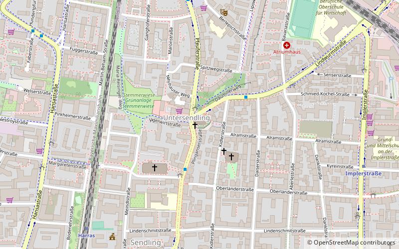
Sendling is a borough of Munich. It is located south-west of the city centre and spans the city boroughs Sendling and Sendling-Westpark. Sendling is subdivided into Obersendling, Mittersendling and Untersendling. Untersendling and Mittersendling are located in the borough of Sendling, and Obersendling is located in the borough of Thalkirchen-Obersendling-Forstenried-Fürstenried-Solln. ()
Address
Sendling (Sendlinger Feld)Munich
ContactAdd
Social media
Add
Day trips
Sendling – popular in the area (distance from the attraction)
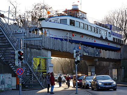
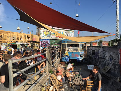
Nearby attractions include: Alte Utting, Bahnwärter Thiel, Theresienwiese, Bavaria.
Frequently Asked Questions (FAQ)
Which popular attractions are close to Sendling?
Nearby attractions include Lindwurmstraße, Munich (10 min walk), Sendling-Westpark, Munich (13 min walk), Mosque in Sendling, Munich (14 min walk), Ruhmeshalle, Munich (18 min walk).
How to get to Sendling by public transport?
The nearest stations to Sendling:
Bus
Train
Metro
Tram
Bus
- Sendlinger Kirche • Lines: 153, 53, N43, N44 (2 min walk)
- Margaretenplatz • Lines: 132, 153, 53, N40, N41, N43, N44 (3 min walk)
Train
- Harras (8 min walk)
- Brudermühlstraße (18 min walk)
Metro
- Implerstraße • Lines: U3, U6 (9 min walk)
- Harras • Lines: U6 (9 min walk)
Tram
- Fachnerstraße • Lines: 18 (33 min walk)
- Westendstraße • Lines: 18 (33 min walk)

