Thalkirchen-Obersendling-Forstenried-Fürstenried-Solln, Munich
Map

Gallery

Facts and practical information
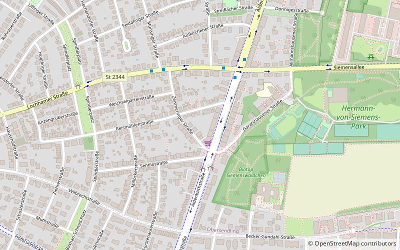
Thalkirchen-Obersendling-Forstenried-Fürstenried-Solln is the 19th borough of Munich, Germany, comprising the extreme southern part of the city on the west bank of the river Isar. After the administrative reform, the boroughs Thalkirchen-Obersendling-Forstenried and Solln were incorporated, thus forming the new borough. It comprises 17.7631 square kilometres and has a population of 96.714 residents. ()
Address
Thalkirchen - Obersendling (Obersendling)Munich
ContactAdd
Social media
Add
Day trips
Thalkirchen-Obersendling-Forstenried-Fürstenried-Solln – popular in the area (distance from the attraction)
Nearby attractions include: DAV Kletter- und Boulderzentrum München-Süd, Boschetsrieder Straße, Wolfratshauser Straße, Marina Wassersport.
Frequently Asked Questions (FAQ)
Which popular attractions are close to Thalkirchen-Obersendling-Forstenried-Fürstenried-Solln?
Nearby attractions include Marina Wassersport, Munich (16 min walk), Boschetsrieder Straße, Munich (18 min walk).
How to get to Thalkirchen-Obersendling-Forstenried-Fürstenried-Solln by public transport?
The nearest stations to Thalkirchen-Obersendling-Forstenried-Fürstenried-Solln:
Bus
Train
Metro
Bus
- Marienstern • Lines: 270V, 63, N41 (3 min walk)
- Siemensallee • Lines: 136, 270V, 63, N41 (4 min walk)
Train
- Machtlfinger Straße (16 min walk)
- Solln (19 min walk)
Metro
- Machtlfinger Straße • Lines: U3 (16 min walk)
- Aidenbachstraße • Lines: U3 (18 min walk)


