Ramberg

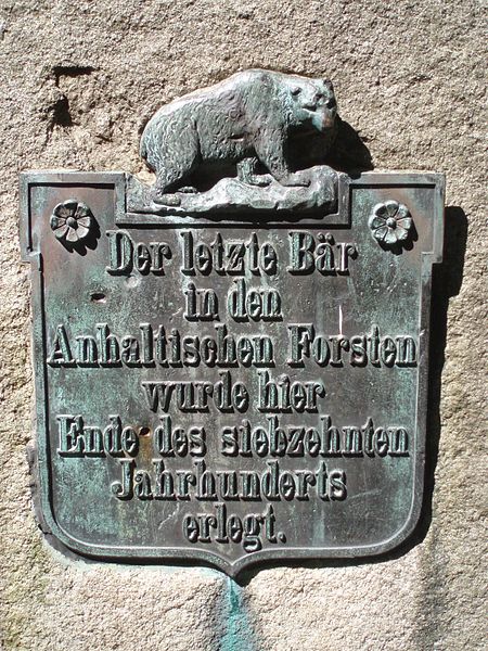
Gallery (2)
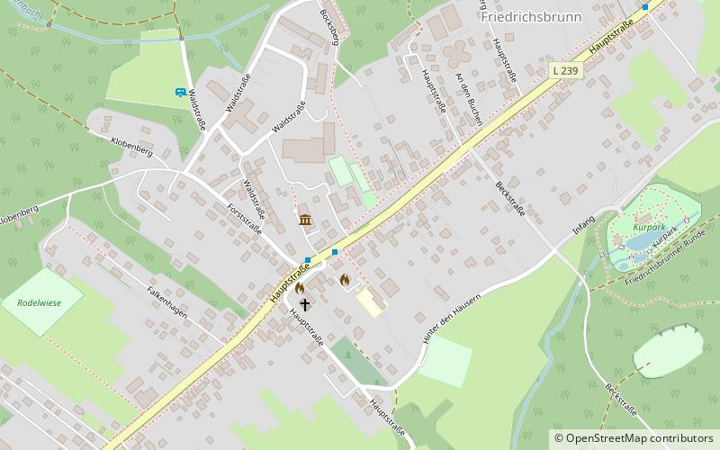
Map
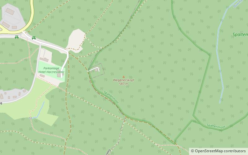
Map
Gallery
Facts and practical information
The Ramberg, also called the Ramberg Massif, is a granite massif, about 30 square kilometres in area, in the eastern part of the Harz Mountains of central Germany. It is located in the federal state of Saxony-Anhalt and lies southwest of Quedlinburg, between Friedrichsbrunn, Gernrode, Harzgerode and Thale. The Ramberg massif has a number of summits, the highest of which is the Viktorshöhe at 582 m above sea level. ()
Location
Saxony-Anhalt
ContactAdd
Social media
Add
Day trips