Bergrat Müller Pond
Map

Map

Facts and practical information
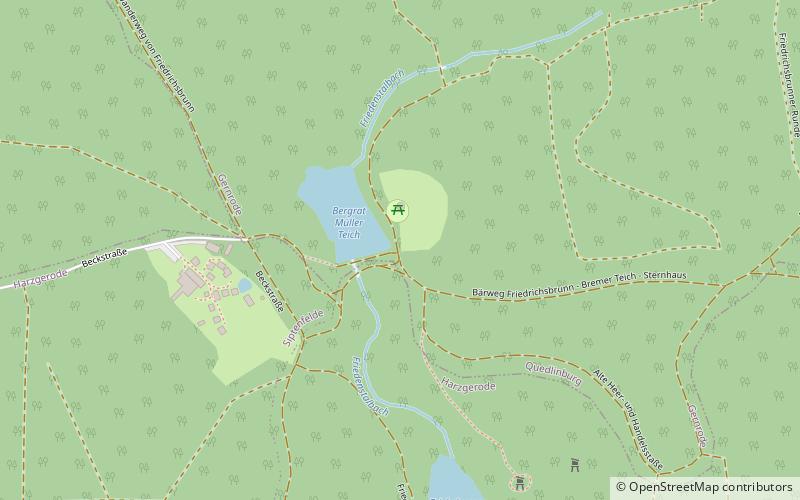
The Bergrat Müller Pond, named after a former mining director, Müller, in the Harz mountains of central Germany is a storage pond laid out from 1737 to 1738. It has an area of about 1.3 ha and lies in the forested southern part of the borough of Quedlinburg in the county of Harz in Saxony-Anhalt. ()
Local name: Bergrat-Müller-Teich Reservoir area: 3.21 acres (0.005 mi²)Elevation: 1680 ft a.s.l.Coordinates: 51°40'46"N, 11°3'54"E
Location
Saxony-Anhalt
ContactAdd
Social media
Add
Day trips
Bergrat Müller Pond – popular in the area (distance from the attraction)
Nearby attractions include: Viktorshöhe, Große Teufelsmühle, Friedrichsbrunn, Ramberg.


