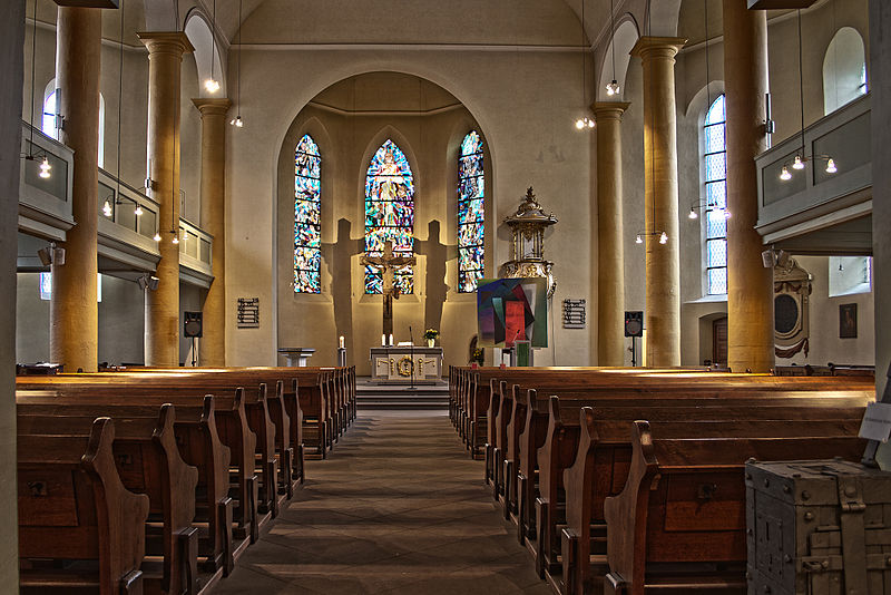
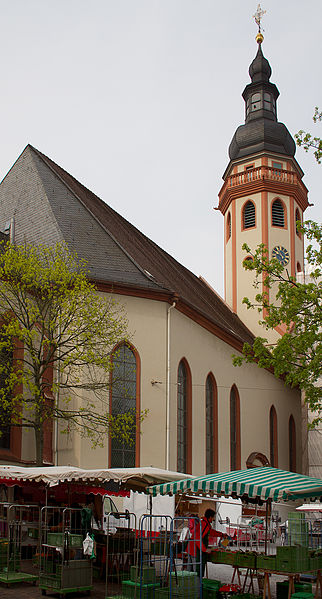
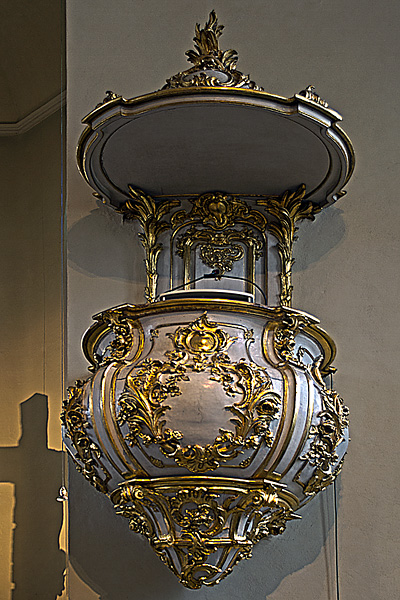
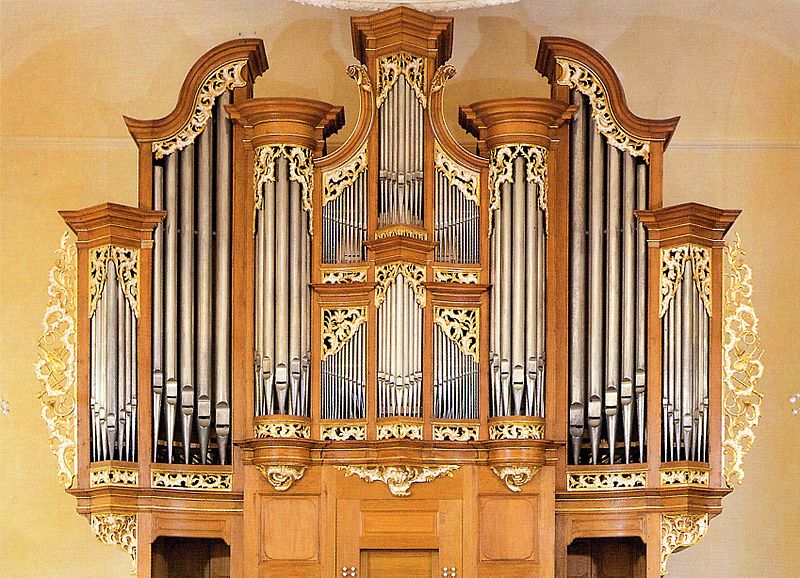
Protestant church, Karlsruhe
Map
Gallery
Facts and practical information
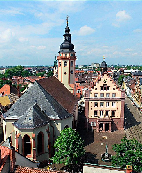
The Stadtkirche Durlach is a Protestant hall church in Durlach, whose origins date back to the 13th century. It was rebuilt several times over the centuries and received its current baroque appearance in 1701.
Coordinates: 48°59'56"N, 8°28'17"E
Day trips
Protestant church – popular in the area (distance from the attraction)
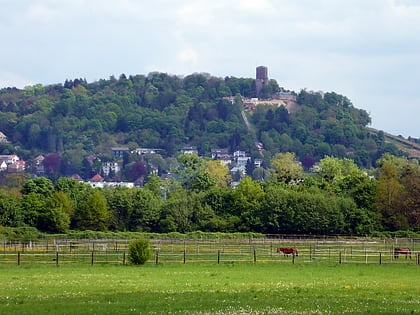
Nearby attractions include: Turmberg, Grötzingen Jewish Cemetery, Karlsburg, Durlach.
Frequently Asked Questions (FAQ)
Which popular attractions are close to Protestant church?
Nearby attractions include Karlsburg, Karlsruhe (4 min walk), Hengstbrunnen, Karlsruhe (6 min walk), Durlach, Karlsruhe (12 min walk), Durlacher Allee, Karlsruhe (14 min walk).
How to get to Protestant church by public transport?
The nearest stations to Protestant church:
Tram
Bus
Train
Light rail
Tram
- Schlossplatz • Lines: 1, 18, 2, 8, E, Nl1 (4 min walk)
- Friedrichschule • Lines: 1, 18, 2, 8, E, Nl1 (3 min walk)
Bus
- Karlsburg • Lines: CityTour Karlsruhe (4 min walk)
- Durlach Schlossplatz • Lines: 21, 23, 24, 26 (4 min walk)
Train
- Talstation (12 min walk)
- Karlsruhe-Durlach (12 min walk)
Light rail
- Untermühlstraße • Lines: 5 (20 min walk)


