Freiwillige Feuerwehr Rockenhausen, Rockenhausen

Gallery (1)
Map
Map
Facts and practical information
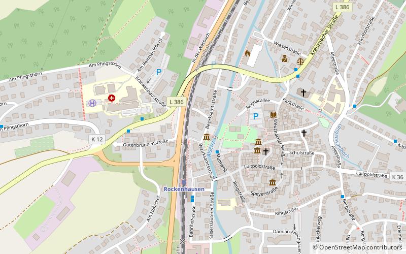
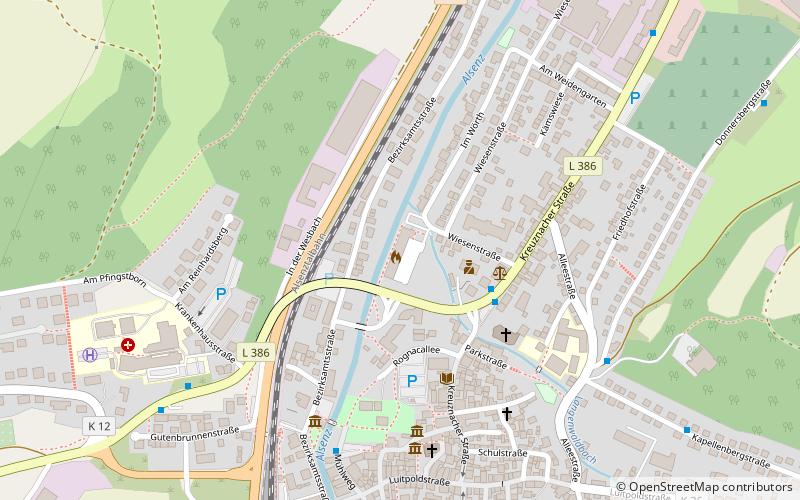
Freiwillige Feuerwehr Rockenhausen (address: Im Wörth 1A) is a place located in Rockenhausen (Rhineland-Palatinate state) and belongs to the category of sightseeing.
It is situated at an altitude of 643 feet, and its geographical coordinates are 49°37'55"N latitude and 7°49'12"E longitude.
Among other places and attractions worth visiting in the area are: Rockenhausen (church, 5 min walk), Burg Falkenstein (forts and castles, 74 min walk), Hohenfels (forts and castles, 99 min walk).
Coordinates: 49°37'55"N, 7°49'12"E
Address
Im Wörth 1ARockenhausen
ContactAdd
Social media
Add
Day trips