Ulmener Maar, Ulmen
Map

Gallery

Facts and practical information
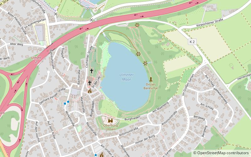
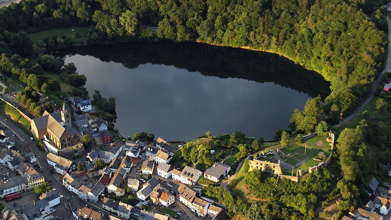
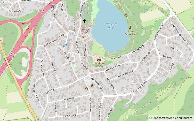
The Ulmener Maar is a maar in the Eifel mountains of Germany in the immediate vicinity of the town of Ulmen in the state of Rhineland-Palatinate. The lake is up to 37 metres deep and is surrounded by an embankment of tuff with an average height of 20 metres, which was formed from the erupted material of the former volcano. By the southern edge of the embankment are the ruins of a knight's castle, Ulmen Castle dating to the 11th century. ()
Alternative names: Length: 1673 ftWidth: 820 ftMaximum depth: 121 ftElevation: 1411 ft a.s.l.Coordinates: 50°12'37"N, 6°58'58"E
Address
Ulmen
ContactAdd
Social media
Add
Day trips
Ulmener Maar – popular in the area (distance from the attraction)
Nearby attractions include: Pulvermaar, Schalkenmehrener Maar, Ulmen Castle, Hochkelberg.


