Church of Peace, Düsseldorf
Map
Map

Facts and practical information
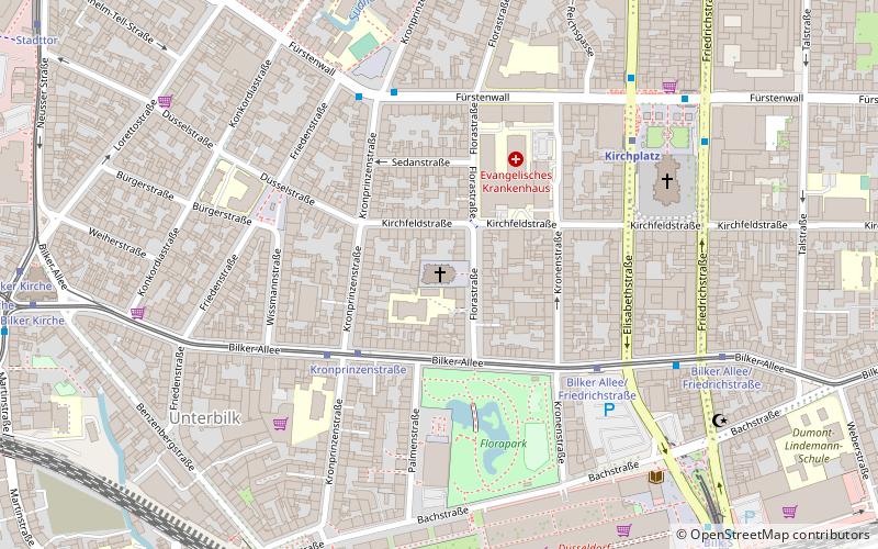
The Friedenskirche is a Protestant church on Florastrasse in the Unterbilk district of Düsseldorf, consecrated in 1899. Its neo-Gothic architecture is typical of Historicist sacred buildings, although the building was altered or simplified in many parts after war damage.
Architectural style: Gothic revivalCoordinates: 51°12'42"N, 6°46'18"E
Day trips
Church of Peace – popular in the area (distance from the attraction)
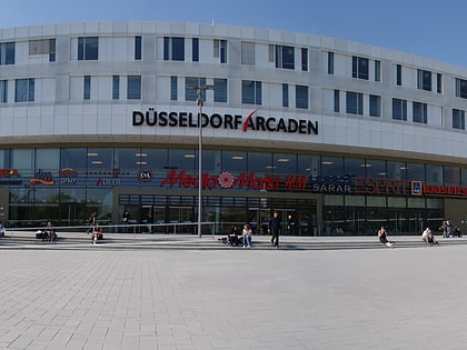
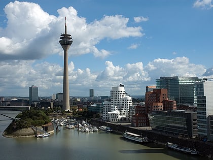
Nearby attractions include: Rheinturm, Landtag Nrw, Kunst im Tunnel, Düsseldorf Arcaden.
Frequently Asked Questions (FAQ)
Which popular attractions are close to Church of Peace?
Nearby attractions include Florapark, Düsseldorf (4 min walk), St. Peter's Church, Düsseldorf (6 min walk), Düsseldorf-Bilk, Düsseldorf (9 min walk), District 3, Düsseldorf (9 min walk).
How to get to Church of Peace by public transport?
The nearest stations to Church of Peace:
Tram
Metro
Bus
Train
Tram
- Kronprinzenstraße • Lines: 707 (3 min walk)
- Bilker Allee/Friedrichstraße • Lines: 707 (7 min walk)
Metro
- Kirchplatz • Lines: U71, U72, U73, U83 (6 min walk)
- Bilk S • Lines: U71, U72, U73, U83 (9 min walk)
Bus
- Kirchplatz U • Lines: 732, 736, 835, 836, M3, Ne7, Ne8 (7 min walk)
- Bilk S • Lines: 835, 836, M3, Ne7 (9 min walk)
Train
- Düsseldorf-Bilk (9 min walk)
- Düsseldorf Völklinger Straße (13 min walk)


