OBERLE - Gesunde Schuhe, Ettenheim

Gallery (1)
Map
Map
Facts and practical information
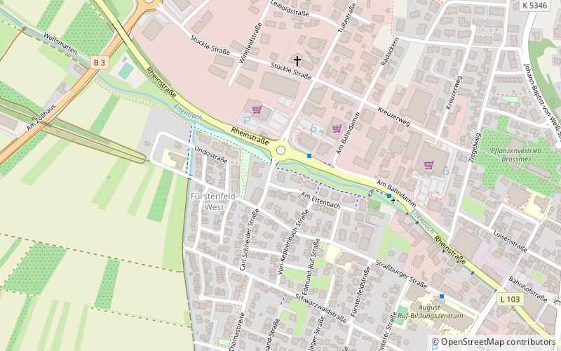
OBERLE - Gesunde Schuhe (address: Carl-Schneider-Str. 15) is a place located in Ettenheim (Baden-Württemberg state) and belongs to the category of sightseeing.
It is situated at an altitude of 551 feet, and its geographical coordinates are 48°15'36"N latitude and 7°48'19"E longitude.
Among other places and attractions worth visiting in the area are: Ringsheim (locality, 38 min walk), Mahlberg (town, 47 min walk), Kippenheim (locality, 64 min walk).
Coordinates: 48°15'36"N, 7°48'19"E
Day trips