Maxau Rhine Bridges, Karlsruhe
Map

Map

Facts and practical information
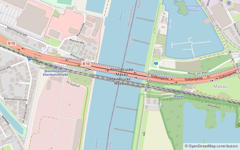
The Maxau Rhine Bridges connect the Baden-Württemberg city of Karlsruhe and the Rhineland-Palatinate town of Wörth in Germany. They cross the Rhine in the suburb of Maxau in the Karlsruhe district of Knielingen and the Wörth suburb of Maximiliansau. The Hofgut Maxau, established by Maximilian von Baden, younger son of Charles Frederick, Grand Duke of Baden, that Maxau is named after is located on the east bank of the Rhine near the bridge. Today there are two parallel bridge structures for road and rail traffic. ()
Local name: Rheinbrücke Maxau Opened: 1966 (60 years ago)Length: 958 ftWidth: 116 ftCoordinates: 49°2'12"N, 8°18'12"E
Address
B 10Karlsruhe 76187
ContactAdd
Social media
Add
Day trips
Maxau Rhine Bridges – popular in the area (distance from the attraction)
Nearby attractions include: Botanischer Garten Karlsruhe, Postgalerie, ZKM, Sandkorn-Theater.
Frequently Asked Questions (FAQ)
How to get to Maxau Rhine Bridges by public transport?
The nearest stations to Maxau Rhine Bridges:
Train
Train
- Maxau (6 min walk)
- Maximiliansau Eisenbahnstraße (6 min walk)


