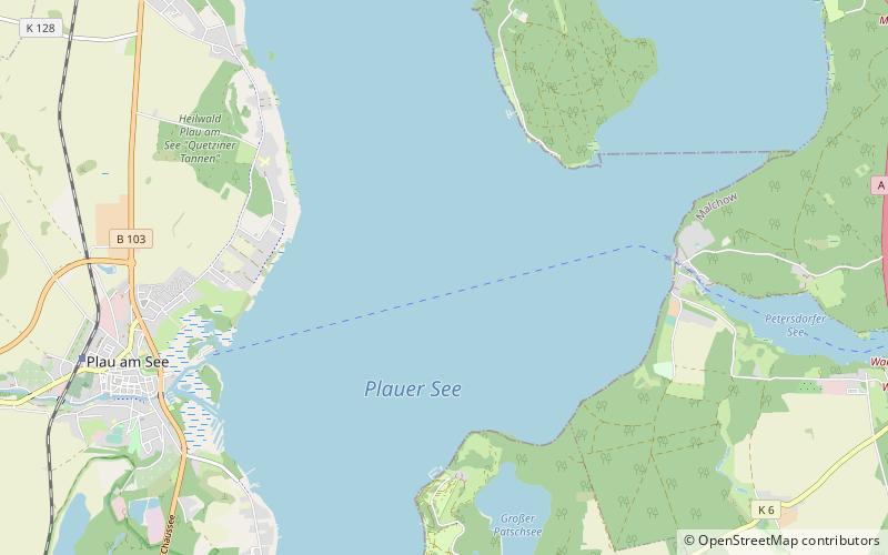
Plauer See
Map

Map

Facts and practical information
Plauer See is a lake in Mecklenburg-Vorpommern, Germany, located at 53°27′57″N 12°18′27″E. Its surface is approximately 38.4 km2 and its maximum depth is 25.5 metres. ()
Alternative names: Area: 14.83 mi²Maximum depth: 84 ftElevation: 200 ft a.s.l.Coordinates: 53°28'4"N, 12°18'43"E
Location
Mecklenburg-West Pomerania
ContactAdd
Social media
Add
Day trips
Plauer See – popular in the area (distance from the attraction)
Nearby attractions include: Plau Castle, Hofsee, Drewitzer See, Naturpark Nossentiner/Schwinzer Heide.


