Christuskirche Gerthe, Bochum
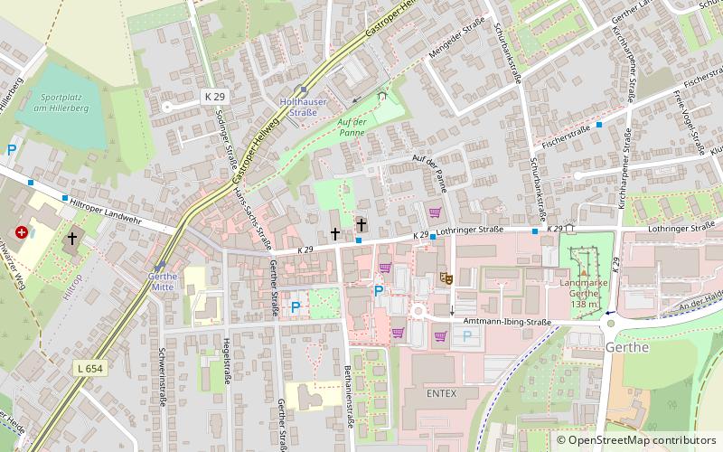
Map

Map

Facts and practical information
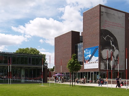
The Protestant Christuskirche is a listed church building in Gerthe, a district of Bochum in North Rhine-Westphalia, Germany.
Coordinates: 51°31'12"N, 7°16'49"E
Address
Lothringer Str. 29Bochum Nord (Gerthe)Bochum 44805
Contact
+49 234 850511
Social media
Add
Day trips
Christuskirche Gerthe – popular in the area (distance from the attraction)
Nearby attractions include: LWL-Industriemuseum Zeche Zollern, Ruhrstadion, Zoo Bochum, LWL-Museum für Archäologie.
Frequently Asked Questions (FAQ)
How to get to Christuskirche Gerthe by public transport?
The nearest stations to Christuskirche Gerthe:
Bus
Tram
Bus
- Bethanienstraße • Lines: 353 (1 min walk)
- Hegelstraße • Lines: 364, Ne2 (7 min walk)
Tram
- Holthauser Straße • Lines: 308, 318 (4 min walk)
- Gerthe Mitte • Lines: 308, 318 (6 min walk)


