Alsumer Berg, Duisburg
Map
Gallery
Facts and practical information
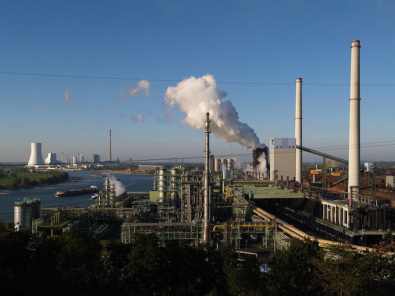
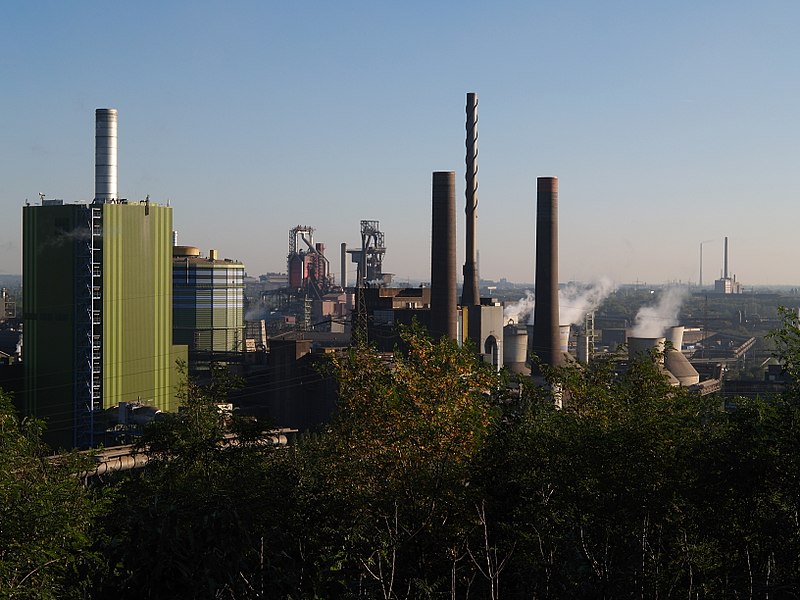
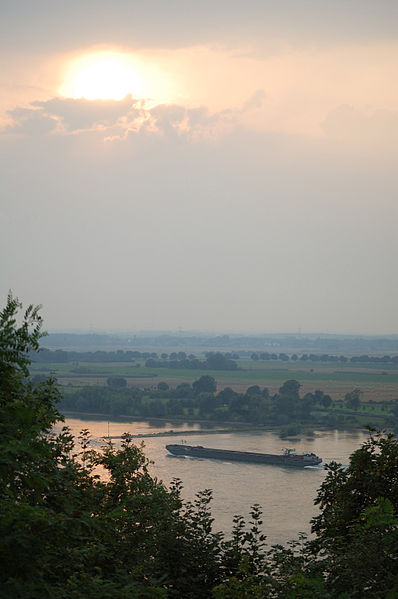
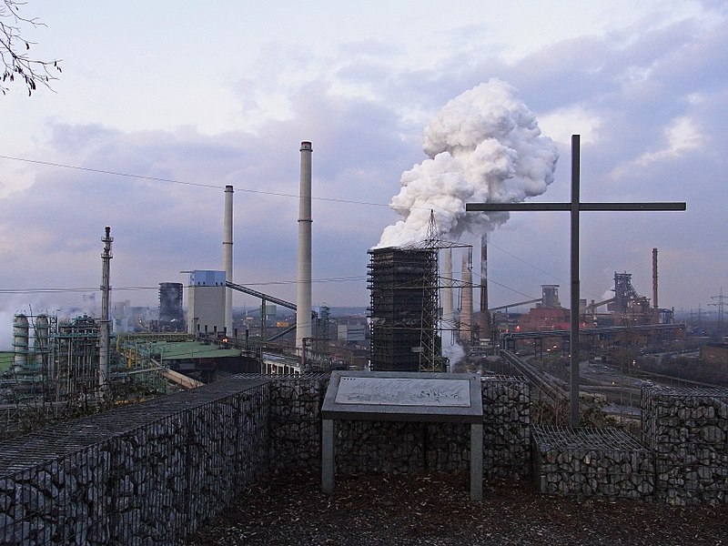
The Alsumer Berg, commonly called Beecker Halde, is a former rubble dump that rises about 50 meters above the Rhine in Duisburg, located directly on the banks of the Rhine.
Elevation: 207 ft a.s.l.Coordinates: 51°29'49"N, 6°43'31"E
Address
Hamborn (Marxloh)Duisburg
ContactAdd
Social media
Add
Day trips
Alsumer Berg – popular in the area (distance from the attraction)
Nearby attractions include: Landschaftspark Duisburg-Nord, Museum der Deutschen Binnenschifffahrt, Rheinorange, Abtei Hamborn.
Frequently Asked Questions (FAQ)
How to get to Alsumer Berg by public transport?
The nearest stations to Alsumer Berg:
Tram
Bus
Tram
- Matenastraße • Lines: 901 (21 min walk)
- Thyssen Kokerei • Lines: 901 (23 min walk)
Bus
- Thyssen Kokerei • Lines: Ne1 (23 min walk)
- Karl-Albert-Straße • Lines: 907 (32 min walk)


