Ruhrort, Duisburg
Map

Map

Facts and practical information
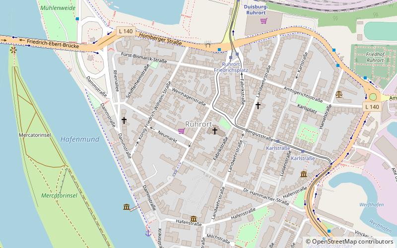
Ruhrort is a district in the borough of Homberg/Ruhrort/Baerl within the German city of Duisburg situated north of the confluence of the Ruhr and the Rhine, in the western part of the Ruhr area. Ruhrort has the largest river harbour in the World, with quays extending nearly 40 kilometres along the river, and it is the principal inland shipping port in Germany. ()
Address
Homberg-Ruhrort-Baerl (Ruhrort)Duisburg
ContactAdd
Social media
Add
Day trips
Ruhrort – popular in the area (distance from the attraction)
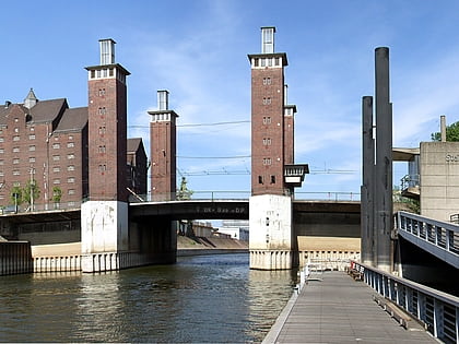
Nearby attractions include: Museum der Deutschen Binnenschifffahrt, Rheinorange, Schwanentorbrücke, Salvatorkirche.
Frequently Asked Questions (FAQ)
Which popular attractions are close to Ruhrort?
Nearby attractions include Haniel Museum, Duisburg (5 min walk), Museumsschiff "Oscar Huber", Duisburg (6 min walk), Museum der Deutschen Binnenschifffahrt, Duisburg (11 min walk), Rheinorange, Duisburg (15 min walk).
How to get to Ruhrort by public transport?
The nearest stations to Ruhrort:
Tram
Bus
Train
Tram
- Ruhrort Friedrichsplatz • Lines: 901 (4 min walk)
- Karlstraße • Lines: 901 (5 min walk)
Bus
- Friedrichsplatz • Lines: 911, 916, 929, Ne1, Ne5 (4 min walk)
- Verteilerkreis • Lines: 916 (8 min walk)
Train
- Duisburg-Ruhrort (7 min walk)


