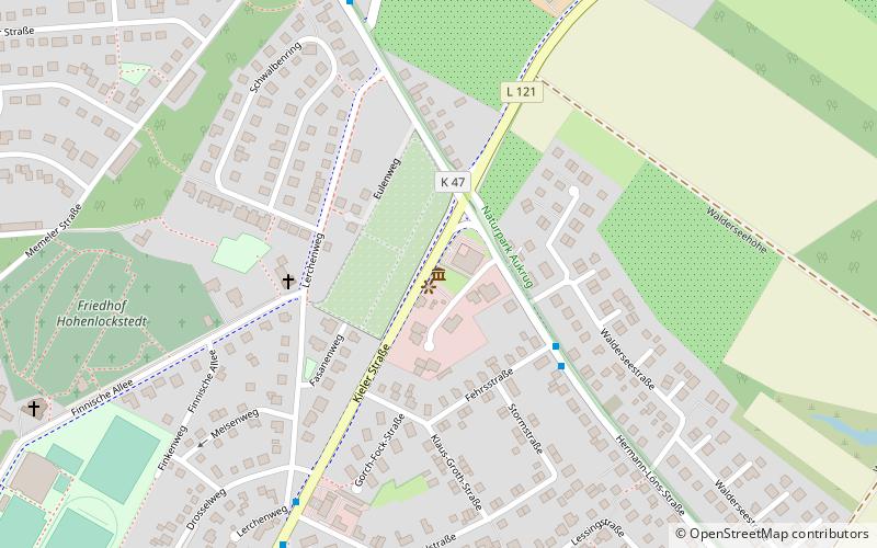
Wasserturm Hohenlockstedt
Map

Map

Facts and practical information
The Hohenlockstedt water tower was built in 1901-1902. It served to supply water to the Lockstedter Camp, a military training area on Lockstedter Heide.
Coordinates: 53°58'17"N, 9°37'43"E
Day trips
Wasserturm Hohenlockstedt – popular in the area (distance from the attraction)
Nearby attractions include: St. Laurentii, Schwimmzentrum Itzehoe, Wenzel Hablik Museum, Kreismuseum Prinzeßhof.


