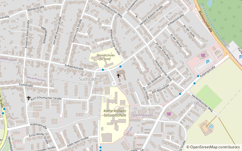
Sankt Josef, Grevenbroich
Map

Map

Facts and practical information
St. Joseph is a parish church in the south of Grevenbroich. The church was built between 1957 and 1959 in the southern city. The church had been planned by the architect Gottfried Böhm. In 2007, the church was entered in the list of monuments of the city of Grevenbroich. The parish around St. Josef now belongs to the parish community of Grevenbroich Vollrather Höhe.
Coordinates: 51°4'49"N, 6°36'18"E
Day trips
Sankt Josef – popular in the area (distance from the attraction)
Nearby attractions include: Villa Erckens, Wildfreigehege Bend, Peter und Paul, Freie Christengemeinde.
Frequently Asked Questions (FAQ)
Which popular attractions are close to Sankt Josef?
Nearby attractions include Turmkater, Grevenbroich (18 min walk), Wildfreigehege Bend, Grevenbroich (19 min walk), Grabkreuz, Grevenbroich (21 min walk), Peter und Paul, Grevenbroich (23 min walk).
How to get to Sankt Josef by public transport?
The nearest stations to Sankt Josef:
Bus
Train
Bus
- An St. Josef • Lines: 892 (1 min walk)
- Herkenbuscher Weg • Lines: 892 (6 min walk)
Train
- Grevenbroich (36 min walk)


