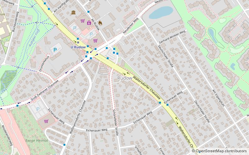
Rudow, Berlin

Gallery (1)
Map
Map
Facts and practical information
Rudow is a locality within the Berlin borough of Neukölln. ()
Getting there by public transportation
Public transportation stops near this location
- Metro
 Metro
Metro
- Calculate routeU Rudow 5 min walk
- Calculate routeU Zwickauer Damm 23 min walk
- Calculate routeU Wutzkyallee 31 min walk
Maps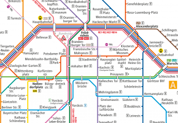 Metro
Metro
MetroDay trips


Frequently Asked Questions (FAQ)
How to get to Rudow by public transport?
The nearest stations to Rudow:
Metro
Metro
- U Rudow • Lines: U7 (5 min walk)
- U Zwickauer Damm • Lines: U7 (23 min walk)