Naturschutzgebiet Obere Ihleniederung, Ritterhude
Map
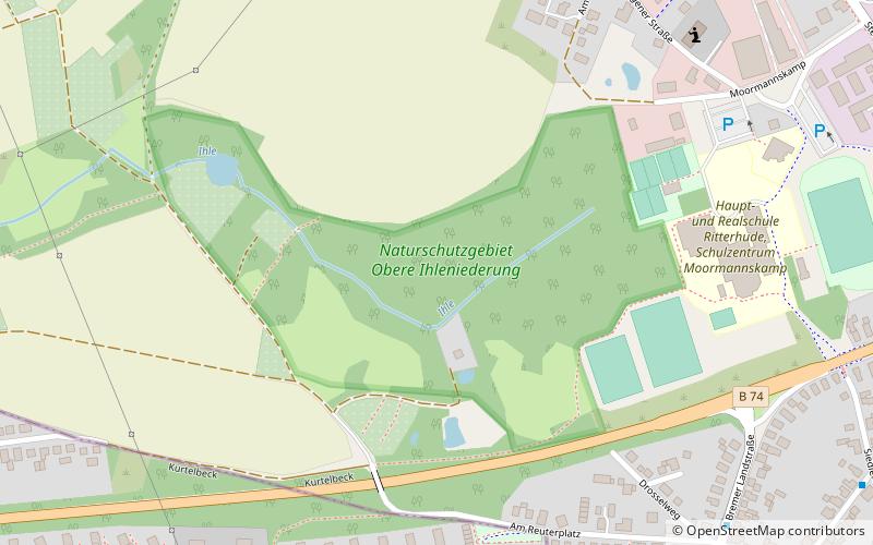
Map

Facts and practical information
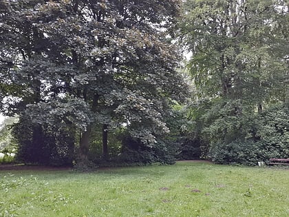
The Upper Ihleniederung is located in the Ritterhude district of the municipality of the same name in the district of Osterholz, directly west of the village and north of the course of the B 74.
Area: 37.63 acres (0.0588 mi²)Elevation: 92 ft a.s.l.Coordinates: 53°11'1"N, 8°43'36"E
Address
Ritterhude
ContactAdd
Social media
Add
Day trips
Naturschutzgebiet Obere Ihleniederung – popular in the area (distance from the attraction)
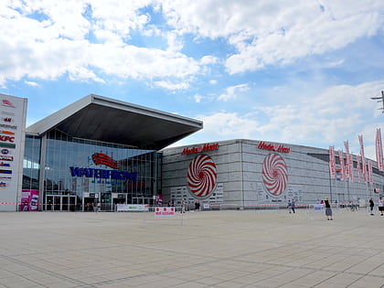
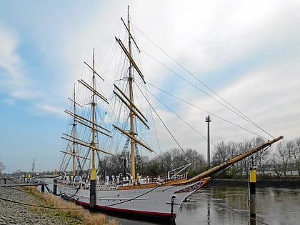
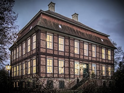
Nearby attractions include: Waterfront Shopping Centre, Schulschiff Deutschland, Friedehorst Park, Bremen-Vegesack.

