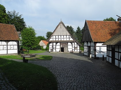
Evangelical Church of Westphalia, Bielefeld
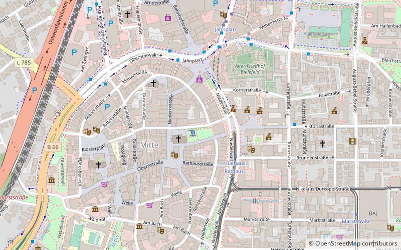
Map
Facts and practical information
The Protestant Church of Westphalia is a United Protestant church body in North Rhine-Westphalia. ()
Address
Mitte (Alt- und Neustadt)Bielefeld
ContactAdd
Social media
Add
Day trips
Evangelical Church of Westphalia – popular in the area (distance from the attraction)
Nearby attractions include: Bielefelder Alm, Sparrenburg, Kunsthalle Bielefeld, Bielefeld Opera.
Frequently Asked Questions (FAQ)
Which popular attractions are close to Evangelical Church of Westphalia?
Nearby attractions include Altstädter Nicolaikirche, Bielefeld (2 min walk), Bielefeld Opera, Bielefeld (3 min walk), Brunnen am Alten Markt, Bielefeld (3 min walk), Süsterkirche, Bielefeld (3 min walk).
How to get to Evangelical Church of Westphalia by public transport?
The nearest stations to Evangelical Church of Westphalia:
Light rail
Bus
Train
Light rail
- Rathaus • Lines: 1, 2, 3, 4 (3 min walk)
- Nikolaus-Dürkopp-Straße (4 min walk)
Bus
- Jahnplatz • Lines: 142, 157, 158, 21, 22, 23, 24, 26, 27, 28, 29, 48, 61, 62, 80.2, 83, 87, 88, 95, N1, N11, N14, N18, N19, N2, N3, N4, N5, N7, N8 (4 min walk)
- Turnerstraße • Lines: 196, 21, 22, 29, 350, 351, 369, 52, N4 (5 min walk)
Train
- Bielefeld Main Station (14 min walk)
- Bielefeld Ost (29 min walk)
