Ottilienberg, Schorndorf

Gallery (4)
Map

Map
Gallery
Facts and practical information
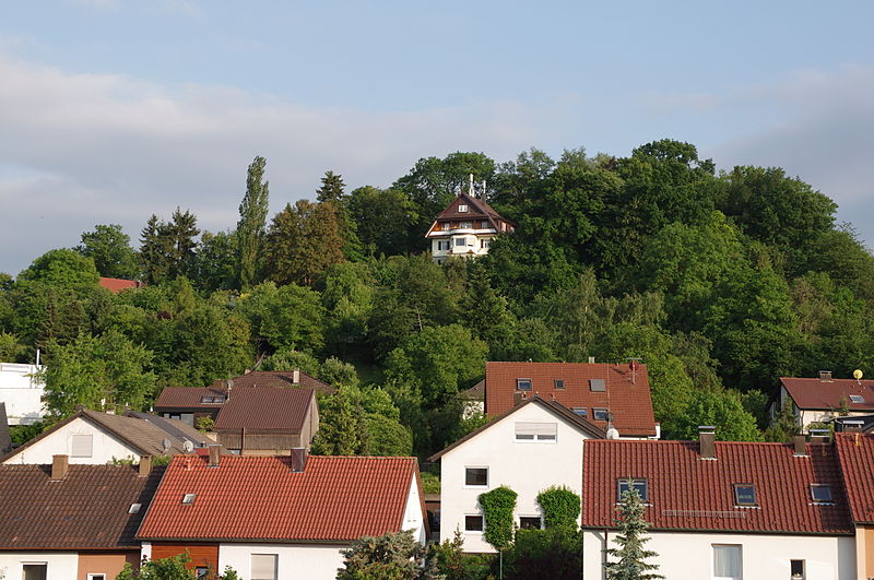
The Ottilienberg is a prominent 347.6 m above sea level elevation in the southern urban area of Schorndorf. It was the site of a medieval chapel and is now designated as a landscape conservation area.
Coordinates: 48°47'38"N, 9°31'32"E
Address
Schorndorf
ContactAdd
Social media
Add
Day trips