Galgenberg, Schorndorf

Gallery (1)
Map
Map
Facts and practical information
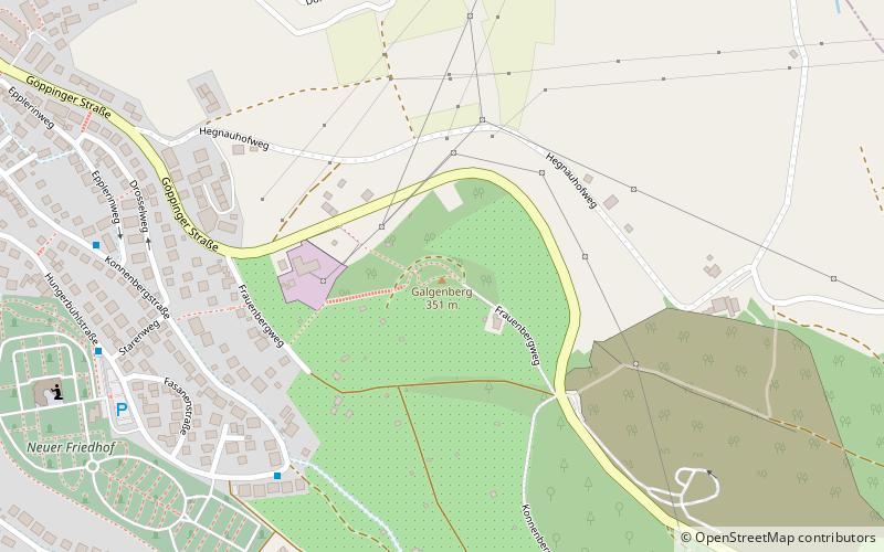
The Galgenberg is a 354.1 m above sea level elevation in the southeastern town area of Schorndorf. It was the site of the Schorndorf place of execution as well as a chapel and is now designated as a landscape conservation area.
Coordinates: 48°47'57"N, 9°32'46"E
Address
Schorndorf
ContactAdd
Social media
Add
Day trips


