Naherholungsgebiet Hürtherberg, Cologne
Map
Gallery
Facts and practical information
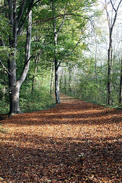
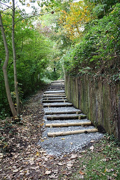
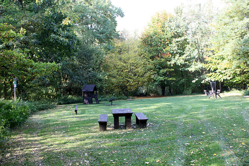
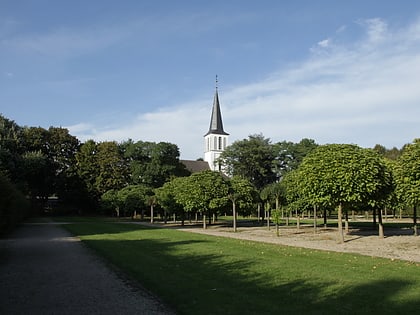
The Hürtherberg recreation area was created from the former lignite mine of the same name in the Rhenish lignite mining area in the Cologne Bay, southwest of Cologne. It is located on the eastern edge of the Hürth district of Alt-Hürth in the Rhine-Erft district. Large parts of the site, around 46.5 hectares, have been designated as the Hürther Berg landscape conservation area since 1990.
Elevation: 361 ft a.s.l.Coordinates: 50°52'15"N, 6°52'33"E
Address
Cologne
ContactAdd
Social media
Add
Day trips
Naherholungsgebiet Hürtherberg – popular in the area (distance from the attraction)
Nearby attractions include: Augustusburg and Falkenlust Palaces, Via Ferrata- Der Kletterturm, Giesler-Galerie, KarlsBad.
Frequently Asked Questions (FAQ)
How to get to Naherholungsgebiet Hürtherberg by public transport?
The nearest stations to Naherholungsgebiet Hürtherberg:
Bus
Tram
Bus
- Luxemburger Straße • Lines: 979, Sb91 (8 min walk)
- Weierstraße • Lines: 713, 780 (9 min walk)
Tram
- Fischenich • Lines: 18 (27 min walk)
- Hürth-Hermülheim • Lines: 18 (27 min walk)


