Hürth, Cologne
Map

Gallery

Facts and practical information
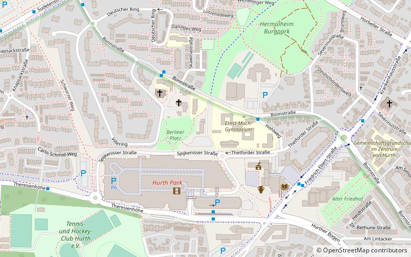
Hürth is a town in the Rhein-Erft-Kreis, North Rhine-Westphalia, Germany. Hürth shares borders with the city of Cologne and is about 6 km to the southwest of Cologne city centre, at the northeastern slope of the natural preserve Kottenforst-Ville. The town consists of thirteen districts, once independent villages, and is distributed over a relatively large area. The municipal area is interspersed with lakes and stretches of forest. ()
Day trips
Hürth – popular in the area (distance from the attraction)
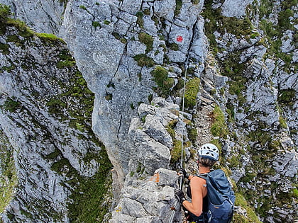
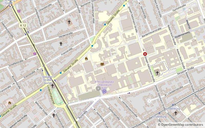
Nearby attractions include: RheinEnergieStadion, Via Ferrata- Der Kletterturm, German National Library of Medicine, KarlsBad.
Frequently Asked Questions (FAQ)
How to get to Hürth by public transport?
The nearest stations to Hürth:
Bus
Tram
Bus
- Ernst-Mach-Gymnasium • Lines: 711, 715 (2 min walk)
- Kirchenzentrum • Lines: 711, 715, 780 (4 min walk)
Tram
- Hürth-Hermülheim • Lines: 18 (21 min walk)
- Kiebitzweg • Lines: 18 (27 min walk)


