Heimathaus, Verl
Map

Map

Facts and practical information
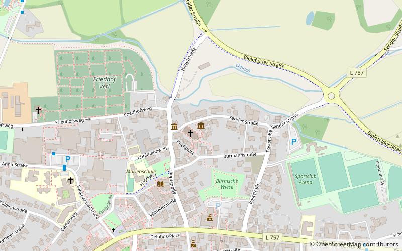
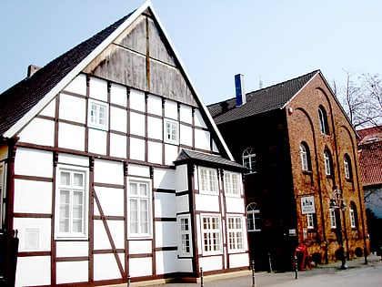
The Heimathaus Verl is a plank house built around 1615, which is now used for cultural events by the Heimatverein of the town of Verl in the district of Gütersloh in North Rhine-Westphalia.
Coordinates: 51°53'5"N, 8°30'32"E
Day trips
Heimathaus – popular in the area (distance from the attraction)
Nearby attractions include: Stadtmuseum Gütersloh, Stadtpark und Botanischer Garten Gütersloh, Varensell Abbey, Miele-Museum.
Frequently Asked Questions (FAQ)
Which popular attractions are close to Heimathaus?
Nearby attractions include St. Anna, Verl (1 min walk), Church of the Redeemer, Verl (13 min walk).


