Gundelfingen, Freiburg
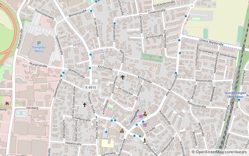
Map
Facts and practical information
Gundelfingen im Breisgau is a municipality directly north of the city Freiburg in Baden-Württemberg in southern Germany. ()
Getting there by public transportation
Public transportation stops near this location
- Bus
- Tram
- Train
 Bus
Bus
- Calculate routeVörstetter Straße 4 min walk
- Calculate routeRathaus West 4 min walk
- Calculate routeSonne-Platz 4 min walk
- Calculate routeSteinackerstraße 5 min walk
- Calculate routeGundelfingen 10 min walk
- Calculate routeGundelfinger Straße 19 min walk
- Calculate routeGlottertalstraße 27 min walk
Day trips


Frequently Asked Questions (FAQ)
How to get to Gundelfingen by public transport?
The nearest stations to Gundelfingen:
Bus
Train
Tram
Bus
- Vörstetter Straße • Lines: 15, 200, 201, 204, 7200.1, 7205, 7209.1 (4 min walk)
- Rathaus West • Lines: 15, 200, 201, 204, 7200.1, 7205, 7209.1 (4 min walk)
Train
- Gundelfingen (10 min walk)
Tram
- Gundelfinger Straße • Lines: 4 (19 min walk)
- Glottertalstraße • Lines: 4 (27 min walk)