Hohenstaufen Mountain

Gallery (2)
Map
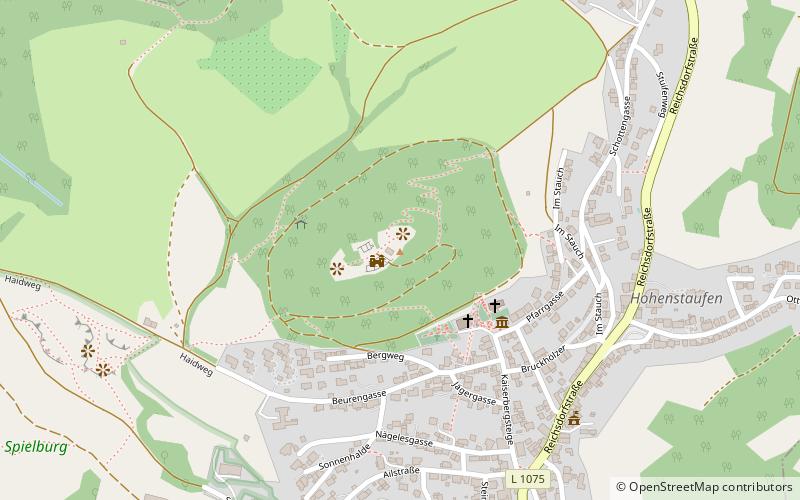
Map
Gallery
Facts and practical information
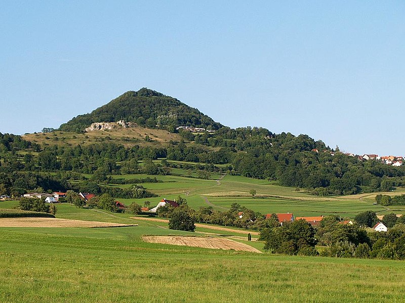
The Hohenstaufen is a mountain in the Swabian Jura with an elevation of 684 metres Together with the Rechberg and Stuifen, Staufer Frius, it forms the so-called "Three Kaiser mountains". It is easily visible from the little town of Lorch; it towers over the forests of that previously occupied the Staufer the Hohenstaufen Castle – the seat of the former House of Hohenstaufen – is now in ruin. ()
Location
Baden-Württemberg
ContactAdd
Social media
Add
Day trips