Rheydter Höhe, Mönchengladbach
Map

Map

Facts and practical information
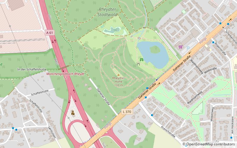
The Rheydter Höhe is a Trümmerberg in the Mönchengladbach district of Pongs in the south of the city. Locally the hill, which is made of rubble, is known as Monte Clamotte or Rheydter Müllberg. The plateau of the small hill is 133 m above NN high, making it the highest point in the borough. Measuring 64 m from foot to summit, it is also the highest Trümmerberg in Germany. ()
Address
Süd (Pongs)Mönchengladbach
ContactAdd
Social media
Add
Day trips
Rheydter Höhe – popular in the area (distance from the attraction)
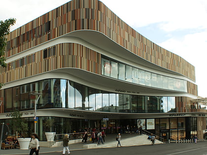
Nearby attractions include: Borussia-Park, Museum Abteiberg, Warsteiner HockeyPark, Minto.
Frequently Asked Questions (FAQ)
How to get to Rheydter Höhe by public transport?
The nearest stations to Rheydter Höhe:
Bus
Bus
- Bogenstraße • Lines: 004 (8 min walk)
- Haus am Buchenhain • Lines: 024 (12 min walk)


