Jakobsbrunnen, Augsburg

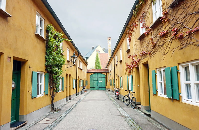
Gallery (1)
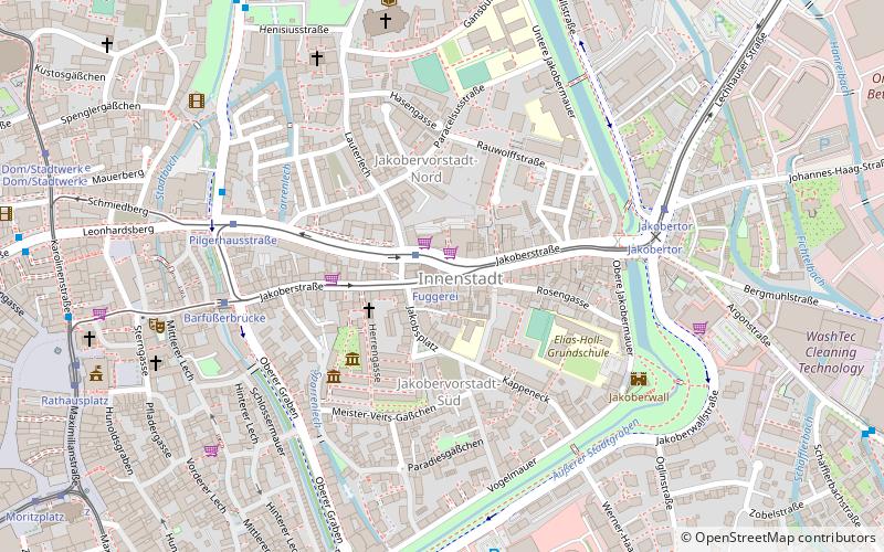
Map
Map
Facts and practical information
The Church of St. Jacob in Augsburg, also called Jakobskirche, is a Protestant church in Augsburg. It is a monument in the district of Augsburg-Jakobervorstadt-Nord and the historical center of Augsburg's Jakobervorstadt. The church is an important stop on the Augsburg Way of St. James, the St. James Pilgrimage Route in Bavarian Swabia. The Jakobuspilgergemeinschaft Augsburg maintains the signposting of the Jakobsweg from Oettingen via Augsburg to Lindau.
Architectural style: GothicCoordinates: 48°22'12"N, 10°54'19"E
Address
Innenstadt (Jakobervorstadt-Nord)Augsburg
ContactAdd
Social media
Add
Getting there by public transportation
Public transportation stops near this location
- Bus
- Tram
- Train
 Bus
Bus
- Calculate routeFuggerei 1 min walk
- Calculate routePilgerhausstraße 5 min walk
- Calculate routeBarfüßerbrücke 5 min walk
- Calculate routeJakobertor 6 min walk
- Calculate routeBarfüßerbrücke 5 min walk
- Calculate routeJakobertor 6 min walk
- Calculate routePilgerhausstraße 6 min walk
- Calculate routeKlinik Vincentinum 8 min walk
- Calculate routeAugsburg Hauptbahnhof 25 min walk
- Calculate routeAugsburg Haunstetterstraße 27 min walk
- Calculate routeAugsburg Morellstraße 30 min walk
Day trips


Frequently Asked Questions (FAQ)
Which popular attractions are close to Jakobsbrunnen?
Nearby attractions include Fuggerei, Augsburg (2 min walk), Fuggereimuseum, Augsburg (3 min walk), Jakobertor, Augsburg (5 min walk), Brechthaus, Augsburg (7 min walk).
How to get to Jakobsbrunnen by public transport?
The nearest stations to Jakobsbrunnen:
Tram
Bus
Train
Tram
- Fuggerei • Lines: 1 (1 min walk)
- Pilgerhausstraße • Lines: 1 (5 min walk)
Bus
- Barfüßerbrücke • Lines: 35 (5 min walk)
- Jakobertor • Lines: 33 (6 min walk)
Train
- Augsburg Hauptbahnhof (25 min walk)
- Augsburg Haunstetterstraße (27 min walk)