Maximilianstraße, Lindau
Facts and practical information
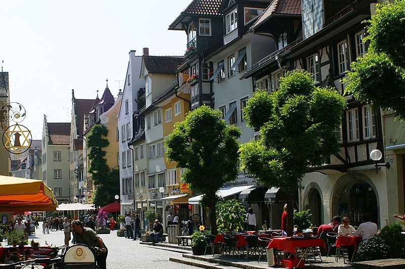
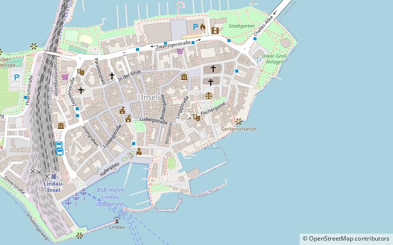
Maximilianstraße in Lindau is the main street running east-west in the old town of Lindau on the island that gives it its name in the eastern part of Lake Constance. It lies between the former monastery area and the harbor.
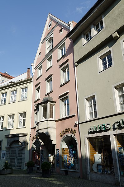
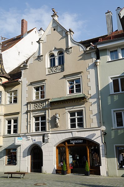
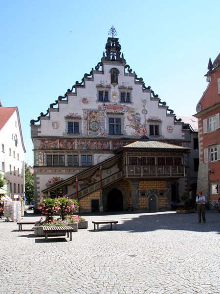
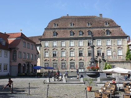
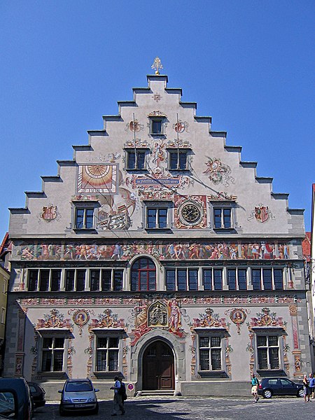
In its center, on the central square, a representative bourgeois council and business house has been built. It is oriented with its magnificent facade to the south to the harbor. On the lowest floor is the market hall; above is the council hall. The market hall as a place of commerce is thus a central part of the old town as a whole, which is protected as a monument. Its ground plan, which dates back to the Middle Ages, has been largely preserved. Very many of Lindau's houses still stand horizontally and vertically in their original scale. They must have survived the town fire in 1728, which devastated the Abbey district and part of the old town. The reconstruction around the market square was done in the Baroque style.
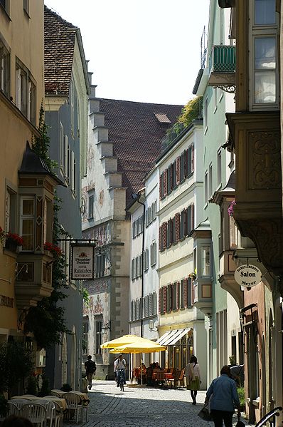
Probably due to the former separation of the island area into a monastic district and a secular village, today's main street does not have a straight continuation of the main traffic axis to/from the mainland. Maximilian Street is rather an example of a self-contained promenade within the bourgeois city instead of a thoroughfare. This is a considerable luxury for such an important city on the north-south trade route via the Rhine valley across the Alps.
Parallel to it, the Ludwigstrasse runs across the island to the south and the Grub to the north. The curved course of both streets still shows their origin within the medieval fortification of the island. Both also contain many buildings that date back to the 15th and 16th centuries. And in contrast to Maximilian Street: both of them join again in the east in front of the pier to the mainland.
Even if today's names do not reflect this, the old street layout of the main street from the mainland may have been as follows: Seebrücke, Schmiedgasse, Cramergasse to Maximilianstraße. In front of Cramergasse, there is still a clear separation on old plans between the ecclesiastical Stiftsplatz and a tree garden in front of it. Only beyond it the Landstraße ran along the hospital, which was an institution of the monastery.
The pavement: the actual roadway is paved. In front of the northern house fronts, sidewalks are delineated by two low steps in the eastern street/plaza portion. This picks up the older paving, visible in photos circa 1900 and 1920, with sidewalks on both sides.
The medieval Maximilianstraße actually ended at house no. 29 or opposite with no. 46 at the intersection with the Inselgraben. This was the moat outside the city wall. In modern times there are two blocks of streets built later, which were not built in medieval house forms. Perhaps the most striking is the main post office with a magnificent facade facing the new station square. It is clearly no longer oriented towards Maximilianstrasse in its ostentation, but achieves its main effect for passers-by who enter the island from the station, which was extended between 1913 and 1921, or from the harbor.
Its length is 230 meters, the width is 15 meters on average and twenty meters at the widest point at house #5.
Maximilianstraße – popular in the area (distance from the attraction)
Nearby attractions include: Lindau, Lindenhofbad, City Museum, Mangturm.


