Rathaus Gemeinde Lauchringen, Lauchringen

Gallery (1)
Map
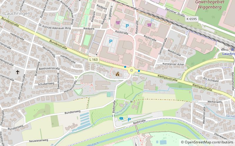
Map
Facts and practical information
Rathaus Gemeinde Lauchringen (address: Hohrainstraße 59) is a place located in Lauchringen (Baden-Württemberg state) and belongs to the category of city hall.
It is situated at an altitude of 1168 feet, and its geographical coordinates are 47°37'40"N latitude and 8°18'49"E longitude.
Among other places and attractions worth visiting in the area are: Berolino (game and entertainment center, 11 min walk), Küssaburg, Küssaberg (forts and castles, 66 min walk), Teufelskessel, Weilheim (natural attraction, 90 min walk).
Coordinates: 47°37'40"N, 8°18'49"E
Day trips