Florapark, Düsseldorf
Map
Map

Facts and practical information
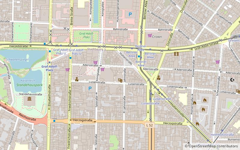
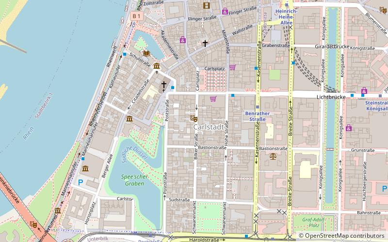
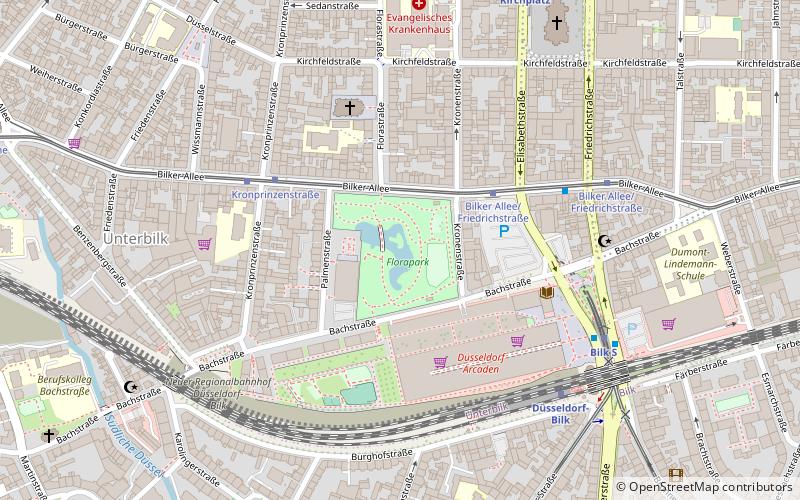
Florapark is one of the smaller parks in the state capital of Düsseldorf. Its total area is 3 hectares. It is located in the old south of the city, today in the south of the city center in the Unterbilk district, not far from Friedrichstadt and Bilk.
Area: 7.41 acres (0.0116 mi²)Elevation: 135 ft a.s.l.Coordinates: 51°12'36"N, 6°46'22"E
Day trips
Florapark – popular in the area (distance from the attraction)
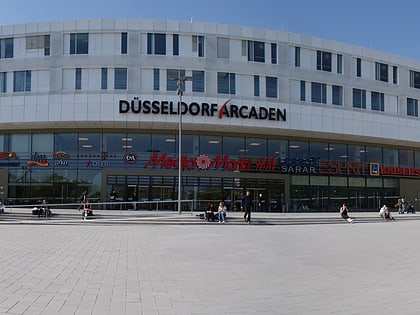
Nearby attractions include: Rheinturm, Landtag Nrw, Kunst im Tunnel, Düsseldorf Arcaden.
Frequently Asked Questions (FAQ)
Which popular attractions are close to Florapark?
Nearby attractions include Church of Peace, Düsseldorf (4 min walk), Düsseldorf-Bilk, Düsseldorf (6 min walk), District 3, Düsseldorf (6 min walk), Düsseldorf-Unterbilk, Düsseldorf (6 min walk).
How to get to Florapark by public transport?
The nearest stations to Florapark:
Tram
Bus
Train
Metro
Tram
- Bilker Allee/Friedrichstraße • Lines: 707 (6 min walk)
- Kronprinzenstraße • Lines: 707 (4 min walk)
Bus
- Bilk S • Lines: 835, 836, M3, Ne7 (6 min walk)
- Kirchplatz U • Lines: 732, 736, 835, 836, M3, Ne7, Ne8 (8 min walk)
Train
- Düsseldorf-Bilk (6 min walk)
- Düsseldorf Völklinger Straße (14 min walk)
Metro
- Bilk S • Lines: U71, U72, U73, U83 (6 min walk)
- Kirchplatz • Lines: U71, U72, U73, U83 (7 min walk)


