Karl-Liebknecht-Straße, Berlin
Map

Gallery

Facts and practical information
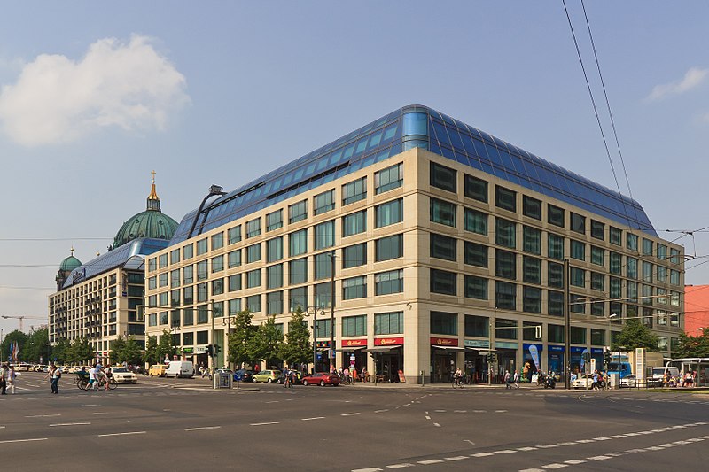
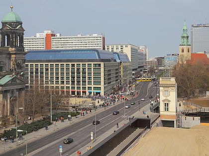
Karl-Liebknecht-Straße is a major street in the central Mitte district of the German capital Berlin. It is named after Karl Liebknecht, one of the founders of the Communist Party of Germany. The street connects the Unter den Linden boulevard with the Prenzlauer Allee arterial road leading to the northern city limits. Although part of the street dates back to medieval times, most of the buildings at its side were built in the 1960s, when East Berlin's centre was redesigned as the capital of East Germany. ()
Address
MitteBerlin
ContactAdd
Social media
Add
Day trips
Karl-Liebknecht-Straße – popular in the area (distance from the attraction)
Nearby attractions include: Fernsehturm, Berlin Cathedral, Altes Museum, Lustgarten.
Frequently Asked Questions (FAQ)
Which popular attractions are close to Karl-Liebknecht-Straße?
Nearby attractions include Neptunbrunnen, Berlin (2 min walk), Marienkirche, Berlin (2 min walk), Berlin/East, Berlin (4 min walk), Berlin Dungeon, Berlin (4 min walk).
How to get to Karl-Liebknecht-Straße by public transport?
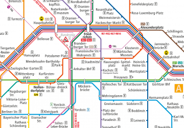
The nearest stations to Karl-Liebknecht-Straße:
Tram
Metro
Train
Bus
Tram
- Spandauer Straße/Marienkirche • Lines: M4, M5, M6 (2 min walk)
- S Hackescher Markt • Lines: M1, M4, M5, M6 (5 min walk)
Metro
- U Rotes Rathaus • Lines: U5 (4 min walk)
- U Alexanderplatz • Lines: U2, U5, U8 (9 min walk)
Train
- Berlin Alexanderplatz (6 min walk)
- Berlin Friedrichstraße (21 min walk)
Bus
- Alexanderplatz • Lines: 002, 057, 065, 070, 125, 1385, 170, 270, 370, N13, N1385, N232, N44, N70 (11 min walk)

 Metro
Metro


