Lühesand
Map
Map

Facts and practical information
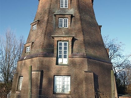
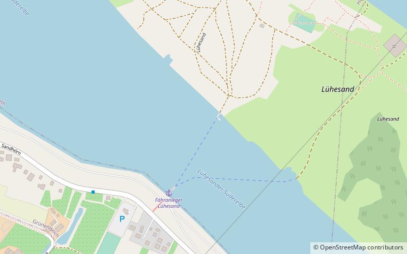
Lühesand is a small island of 1.24 square kilometres in the river Elbe, 8 kilometres east of Stade in Lower Saxony, Germany. The island, named after the easterly located mouth of the Lühe, forms part of Hollern-Twielenfleth and Steinkirchen. It can only be reached by ferry from Grünendeich's westerly exclave Sandhörn and contains a large camping site, on which many continuous campers stay. The southern carrying pylons of Elbe Crossing 1 and Elbe Crossing 2 have been located on Lühesand. ()
Location
Lower Saxony
ContactAdd
Social media
Add
Day trips
Lühesand – popular in the area (distance from the attraction)
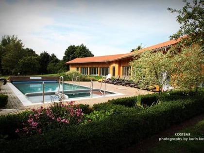
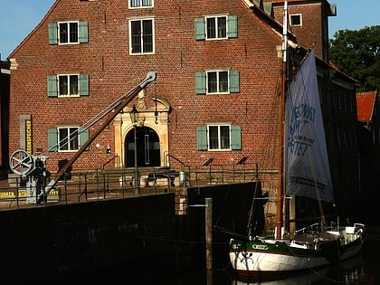
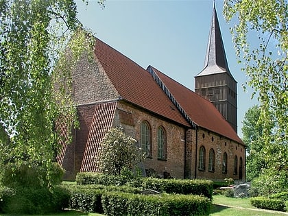
Nearby attractions include: St. Cosmae et Damiani, Horstsee, Badebucht, Schwedenspeicher.


